Large shelter expansion is full speed ahead near Georgia Aquarium Josh Green Wed, 09/11/2024 - 08:08 Construction is barreling ahead on another downtown project aiming to take in Atlanta’s most vulnerable populations from the streets and help get them on tracks to more sustainable lives.
Like the city’s first rapid temporary housing initiative The Melody, and another modular-housing proposal in Mechanicsville detailed by Mayor Andre Dickens last week, the Salvation Army has embarked on a major expansion of its longstanding facilities just north of Centennial Olympic Park. It’s called the Center of Hope.
A Salvation Army of Metro Atlanta capital campaign, HOPE with Dignity, raised funds to expand the organization’s Red Shield Services homeless shelter at 400 Luckie St. into a more comprehensive, modernized Center of Hope campus. The current facility is cramped and doesn’t have enough space to adequately separate male and female residents, which has prompted safety concerns, according to project supporters.
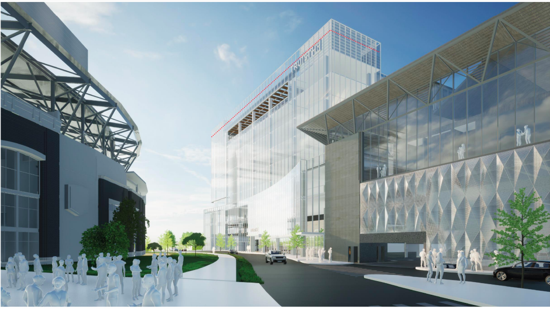
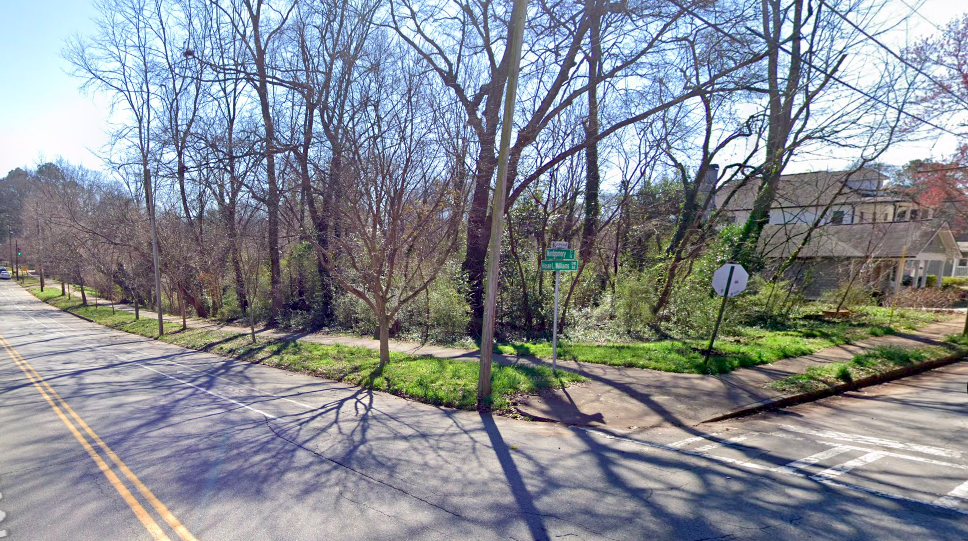
The 46,000-square-foot Center of Hope will stand five stories where Marietta Street meets Mills Street, about a block from the Georgia Aquarium.
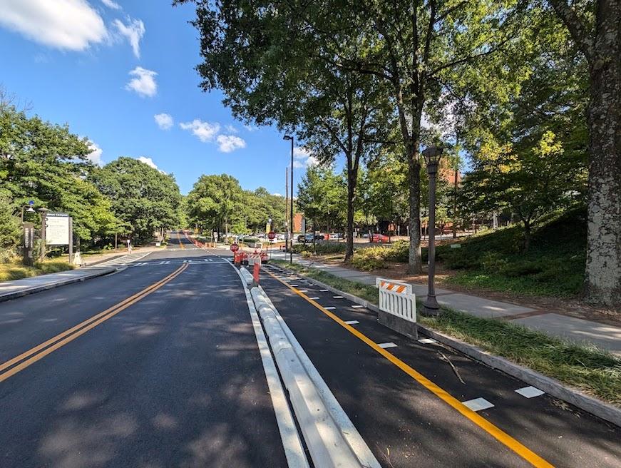
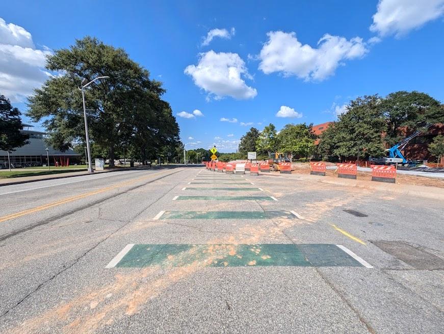
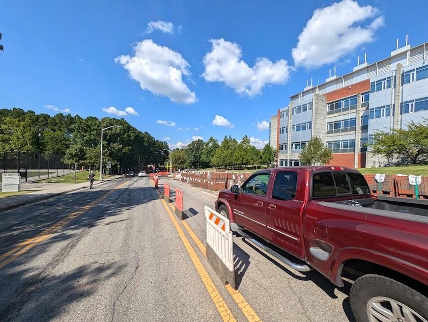
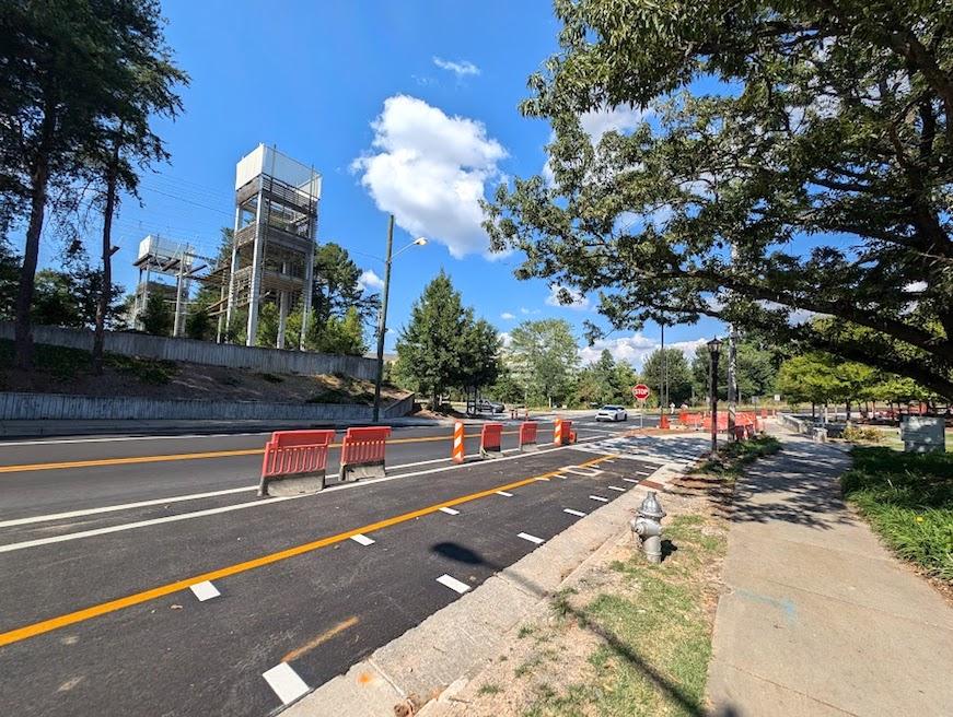
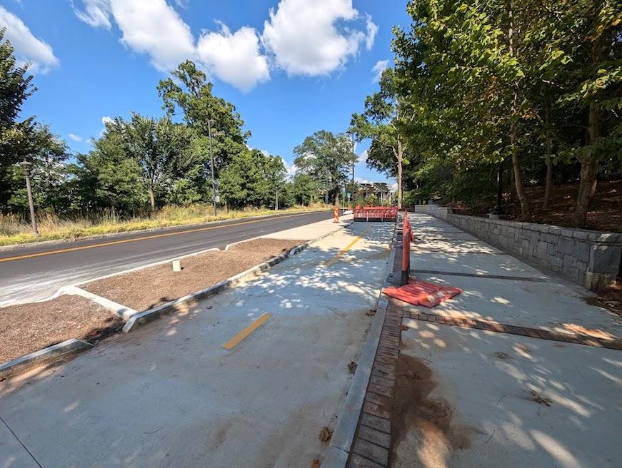
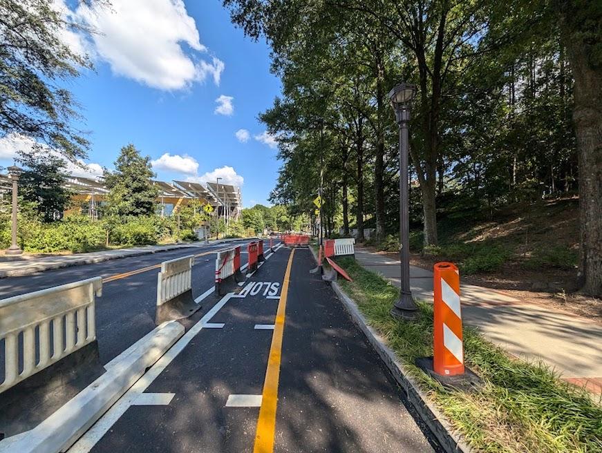
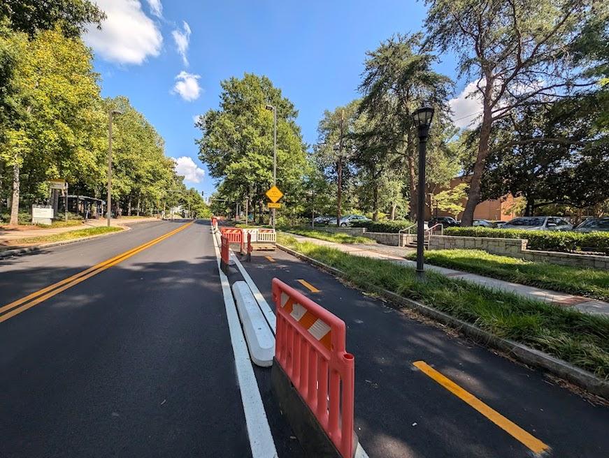
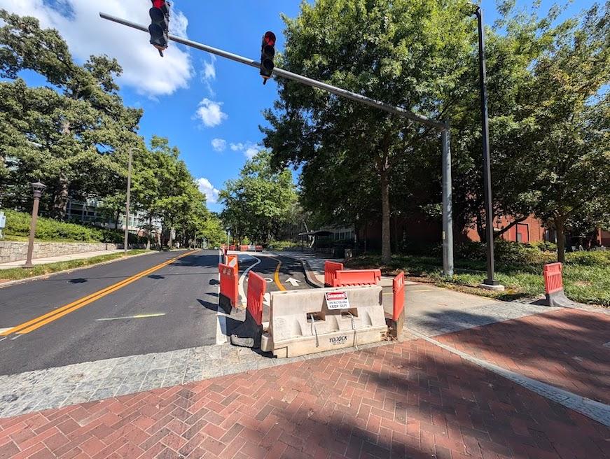
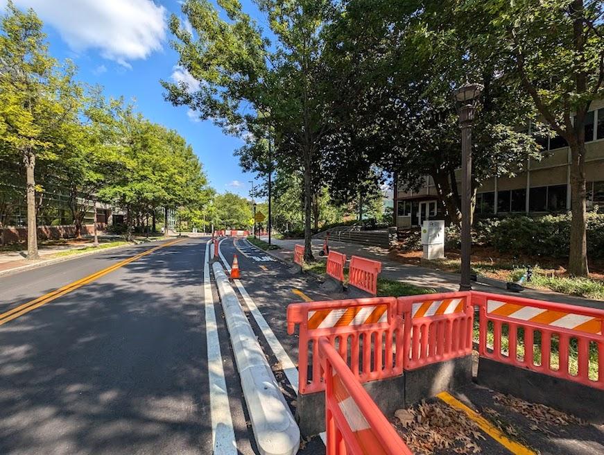
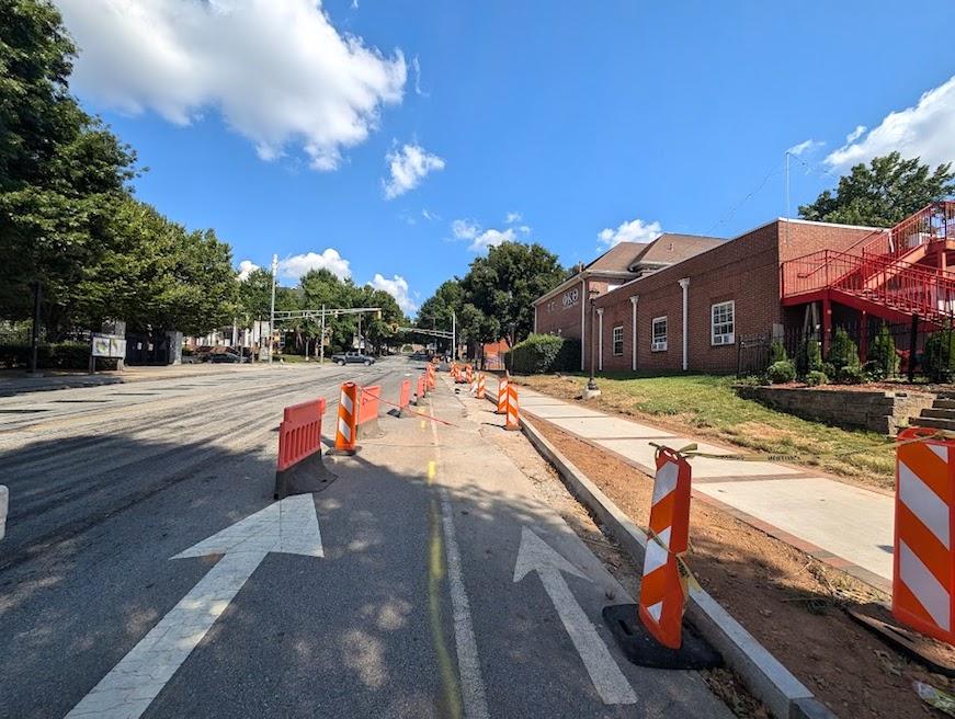
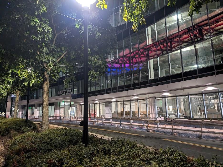
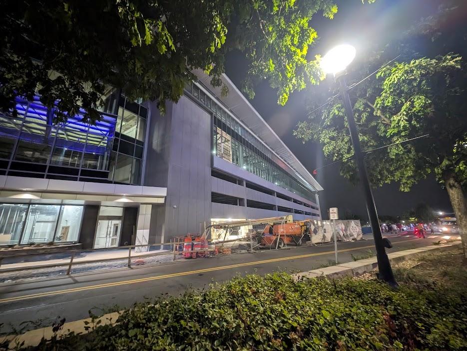
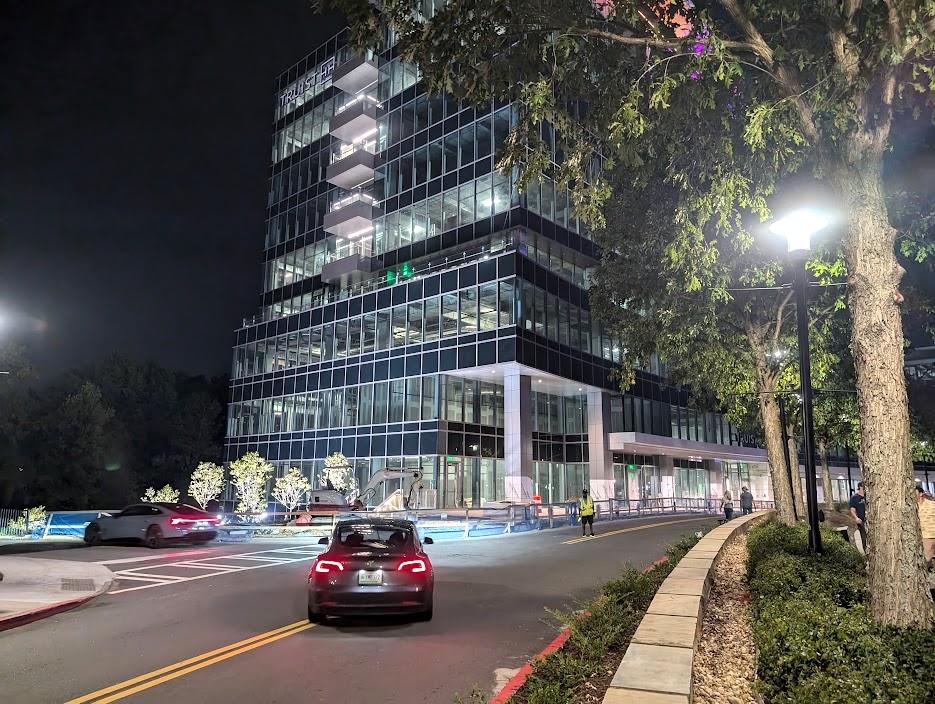
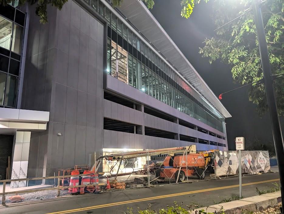
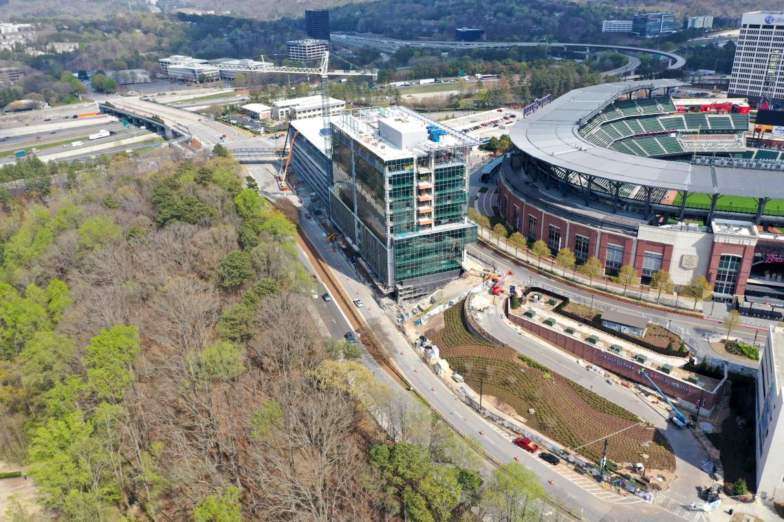
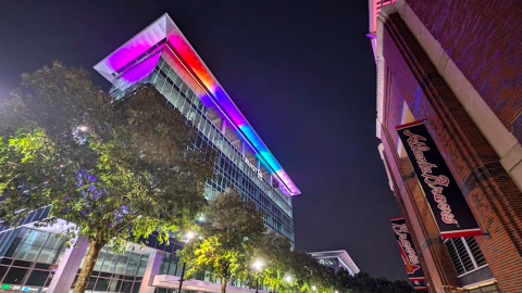
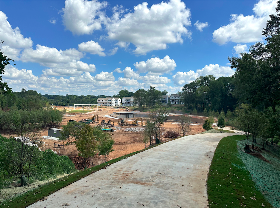
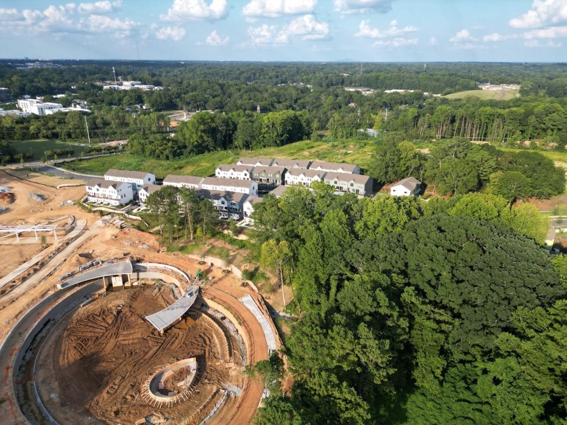
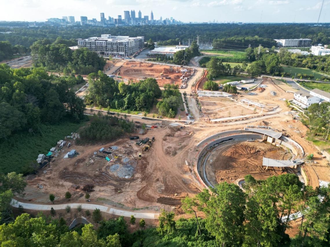
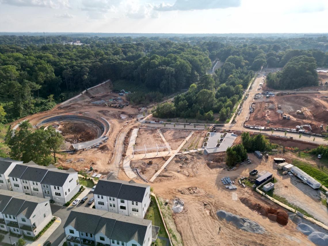
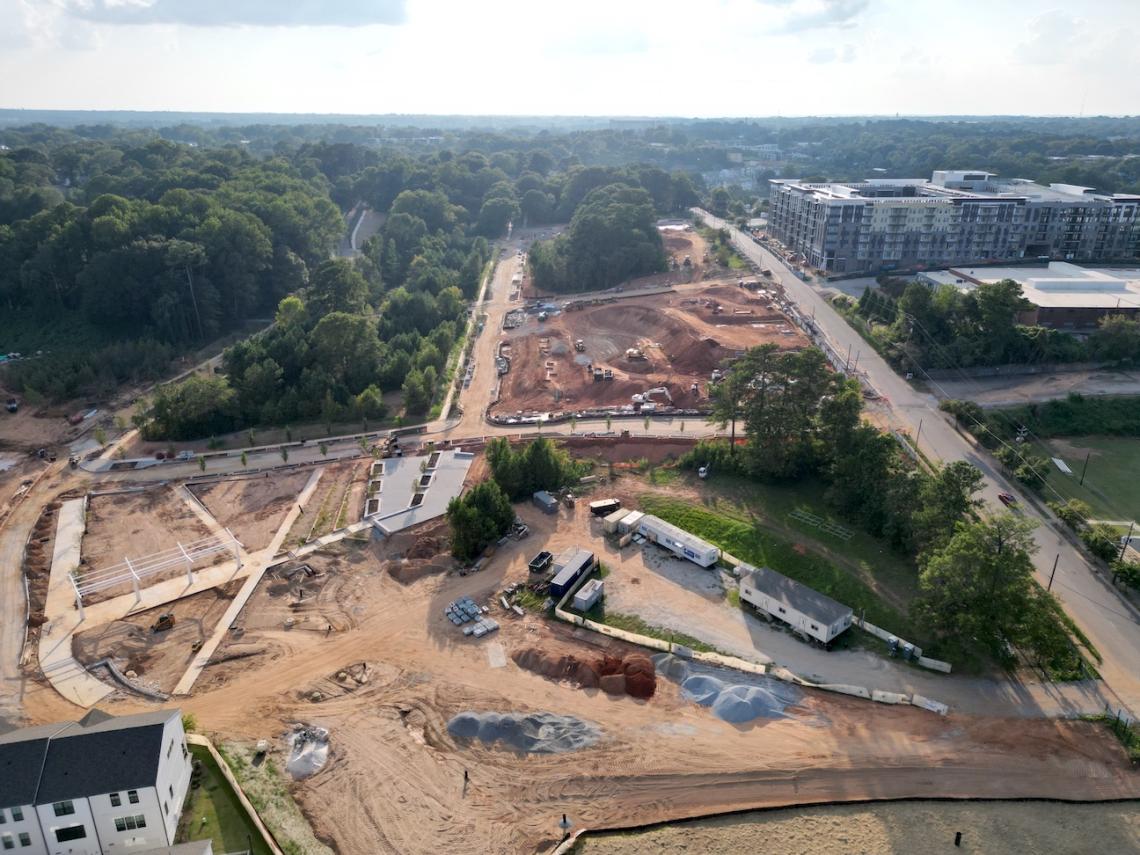
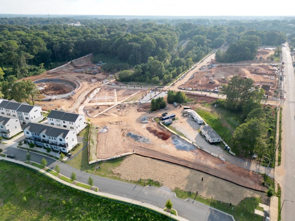
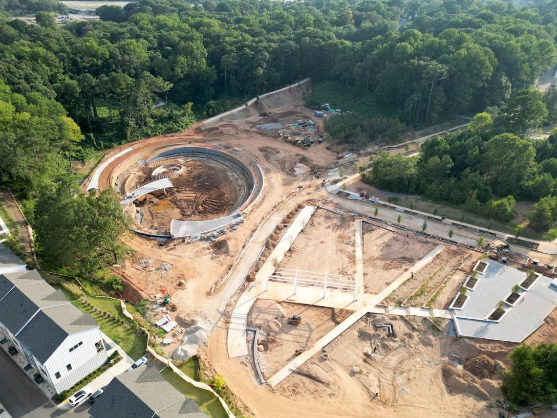
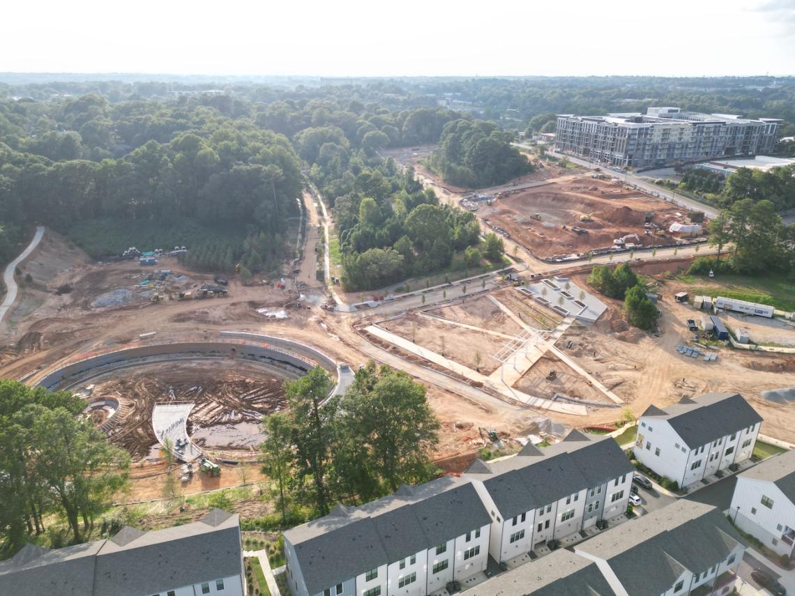
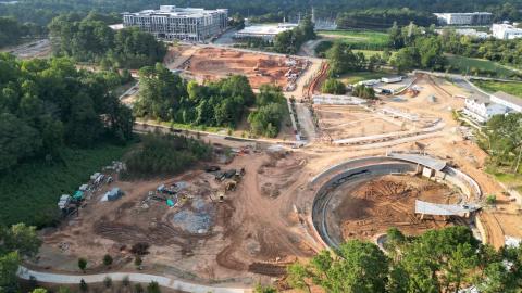
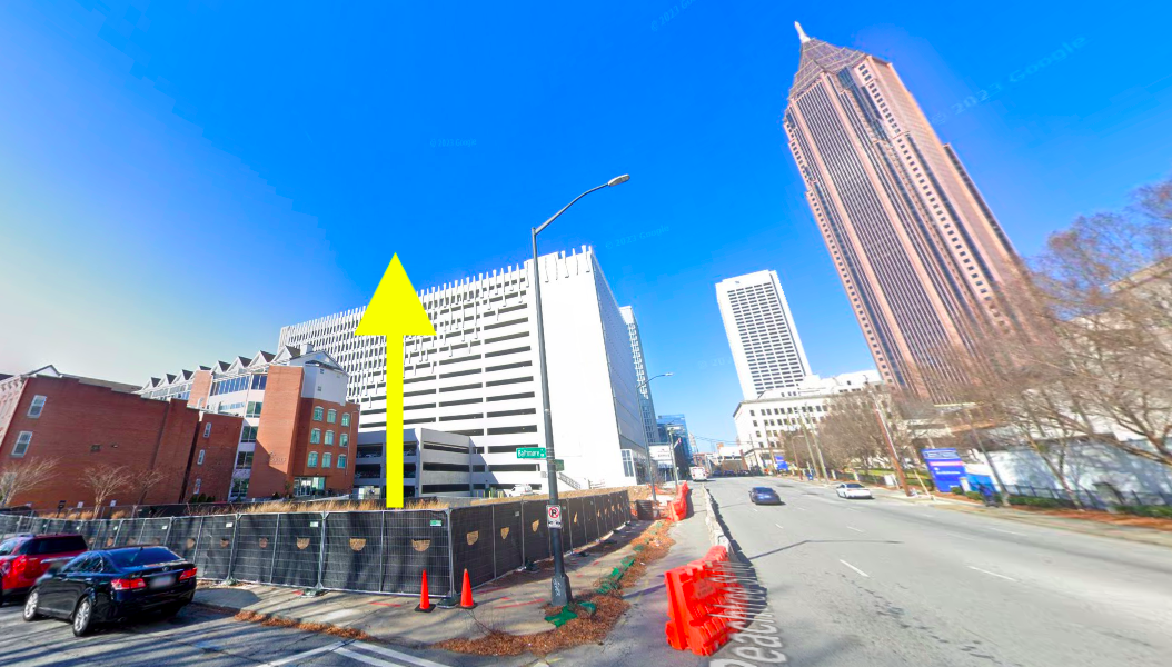
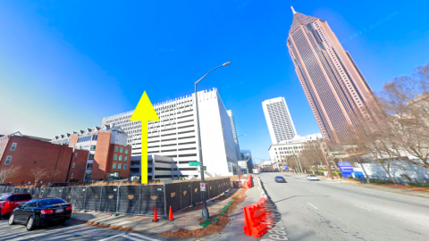
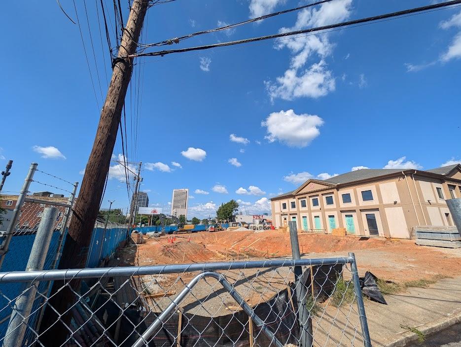 Construction progress on the Salvation Army expansion at the corner of Marietta and Mills streets, as seen Saturday. Josh Green/Urbanize Atlanta
According to Invest Atlanta, the project will double the size of the Salvation Army’s current downtown building. It will house the organization’s emergency and transitional living shelter facility, boosting the number of beds from 321 today to 437. Plans call for two floors of dormitory-style housing for male residents, and another two floors of individualized living spaces.
Another component will be a Salvation Army Education and Workforce Development Center with a computer lab and six classrooms, plus study and collaboration areas.
That center will offer services to residents such as housing solutions, financial education, emergency assistance programs, and other specialized programs designed to support veteran services. (A portion of the new beds will be reserved specifically for military veterans.)
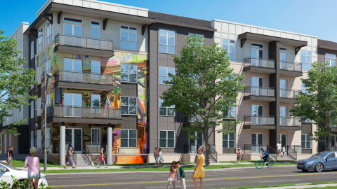
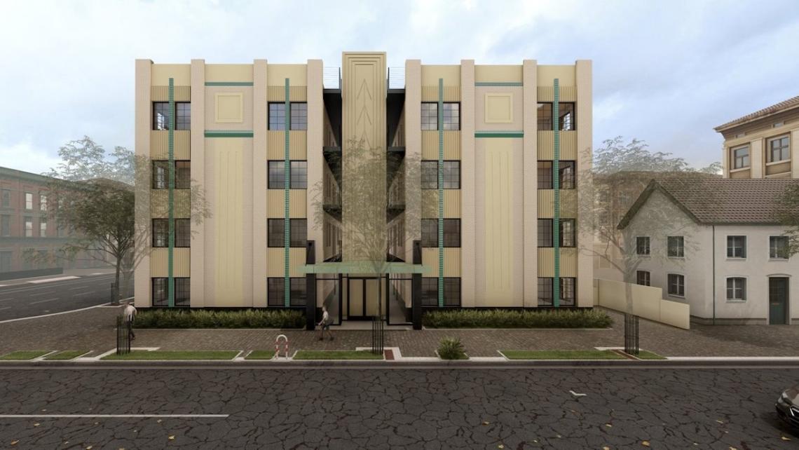
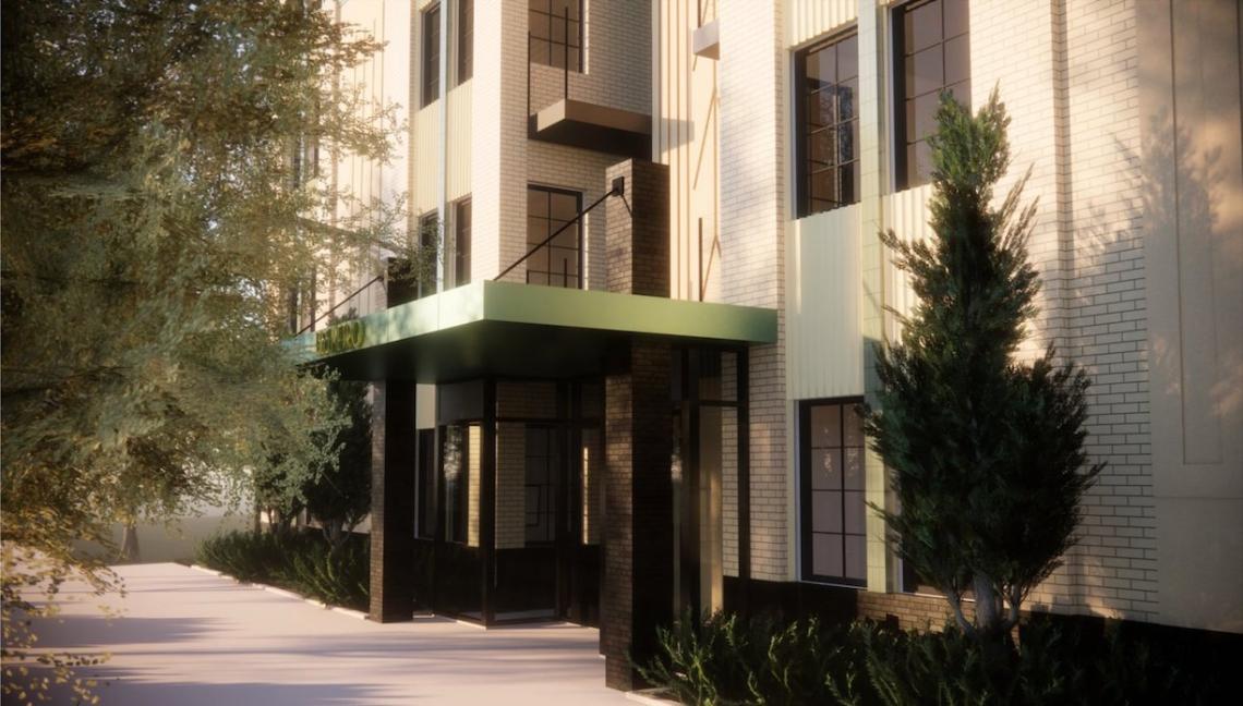
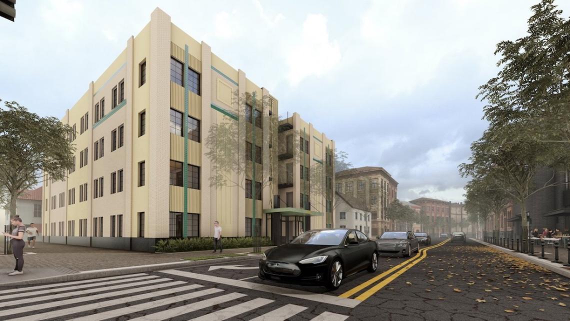
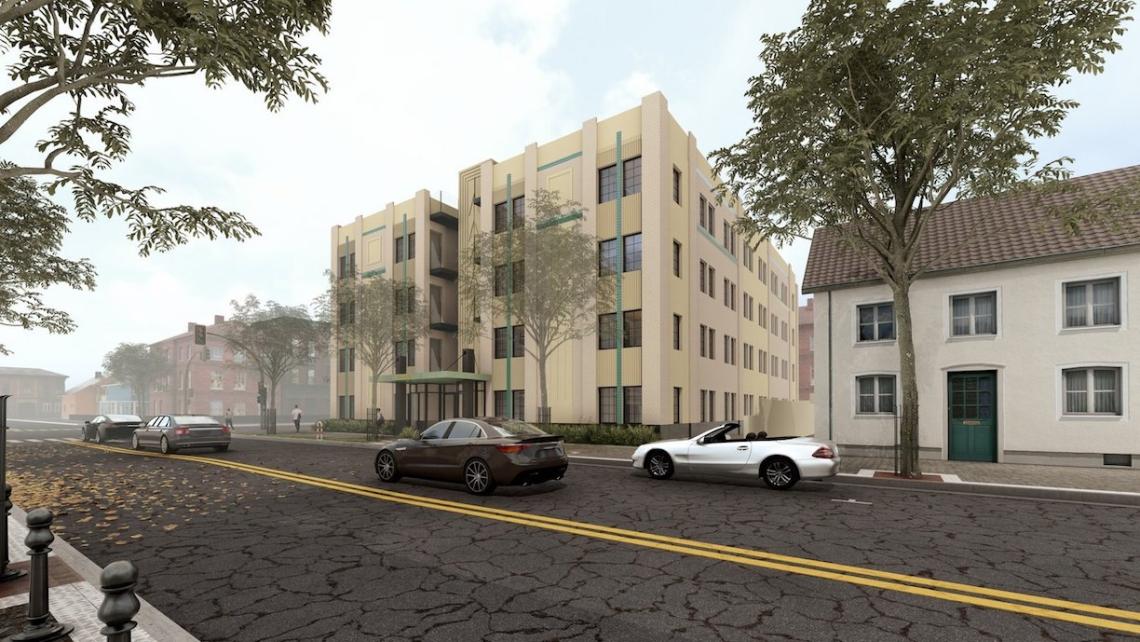
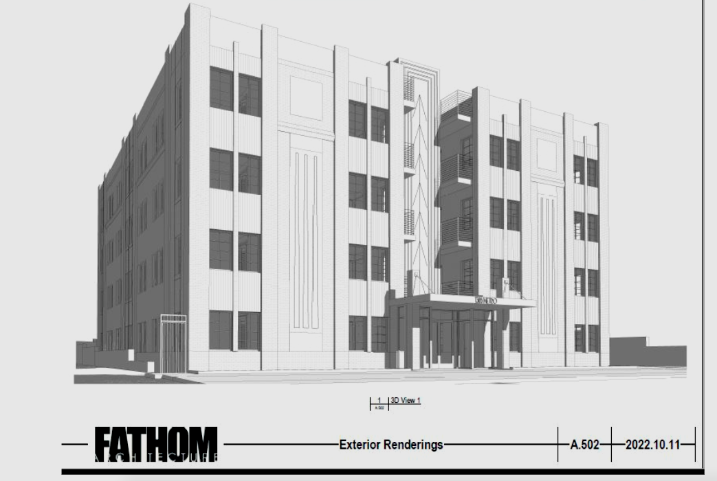
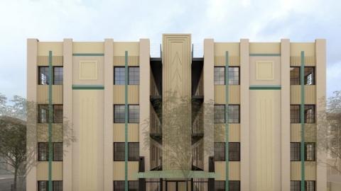
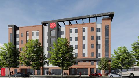
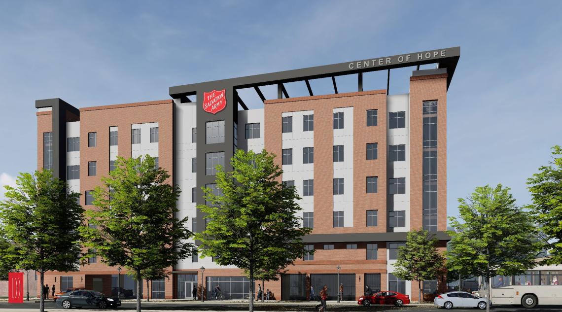 Six-story facade plans where Marietta Street meets Mills Street downtown. Salvation Army/HOPE with Dignity; via Invest Atlanta
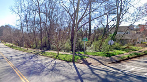
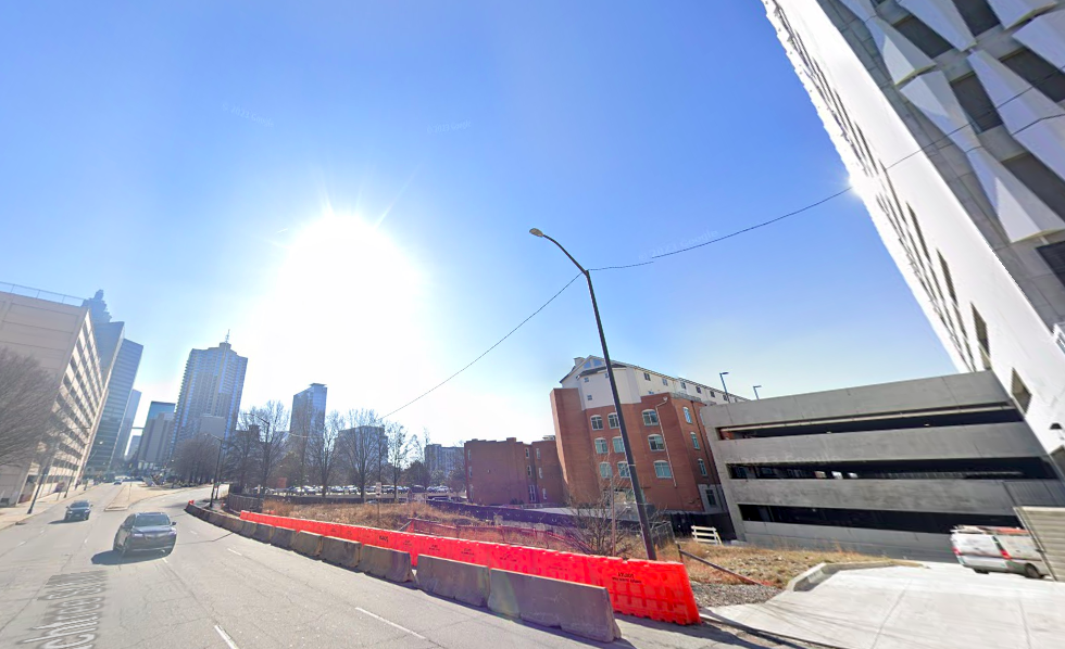
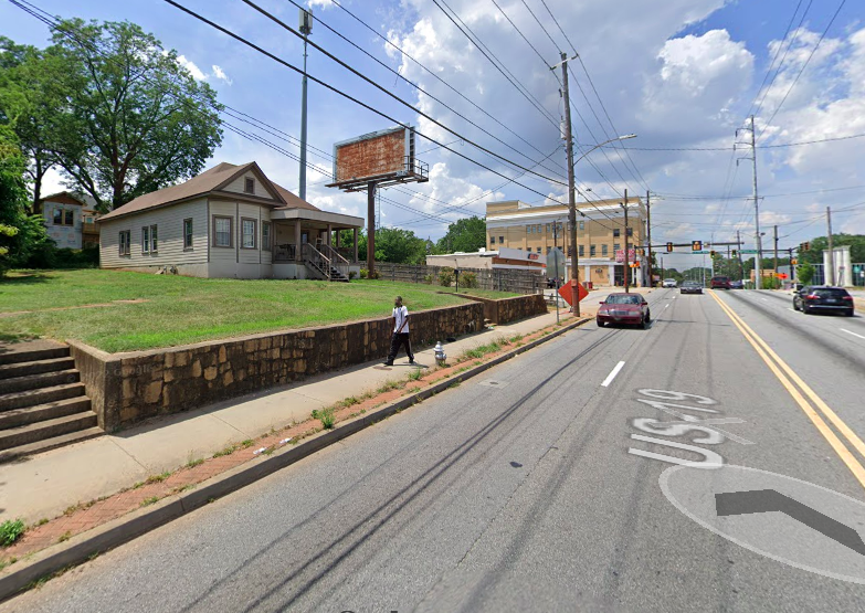
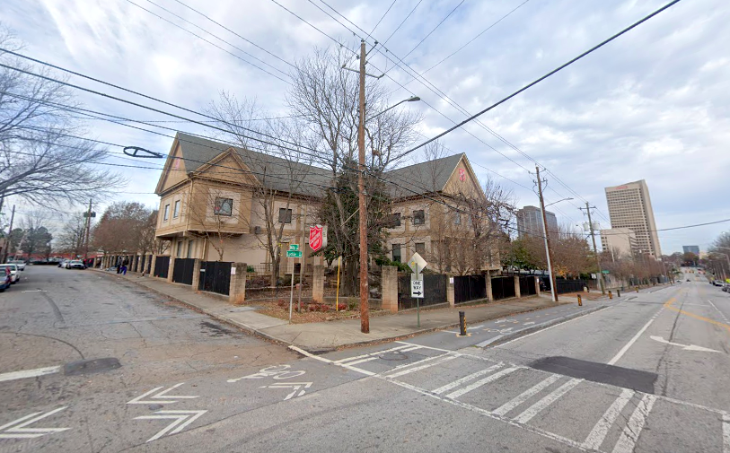 The Salvation Army's facility at the corner of Luckie and Mills streets today. Google Maps
The addition will allow for Salvation Army’s current facilities to be dedicated to women and families, easing concerns caused by overcrowding.
Invest Atlanta’s board approved a $2 million Westside Tax Allocation District Ascension Fund Grant to help the project get off the ground last year. Additional funding was sourced from Atlanta Emerging Markets ($15 million), investment firm Dudley Ventures ($9 million), and Truist Community Development Enterprises, ($4 million).
According to Dudley Ventures, the expansion project will create 23 full-time jobs in an area with a 47 percent poverty rate—and an unemployment rate of nearly 24 percent. During the intake process, all unemployed residents at the Center of Hope will be connected with the facility’s workforce development center, which will partner with local job placement agencies, per the firm.
The Center of Hope is scheduled to be complete next year, according to the Atlanta Downtown Improvement District.
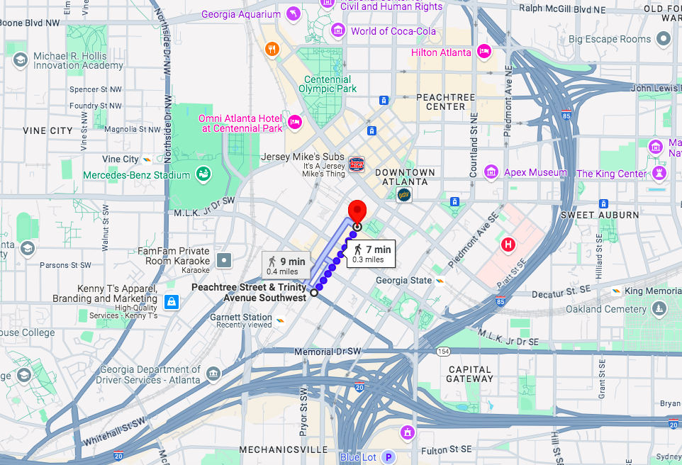
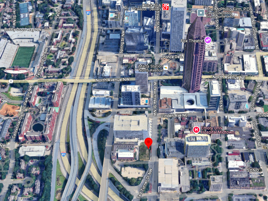
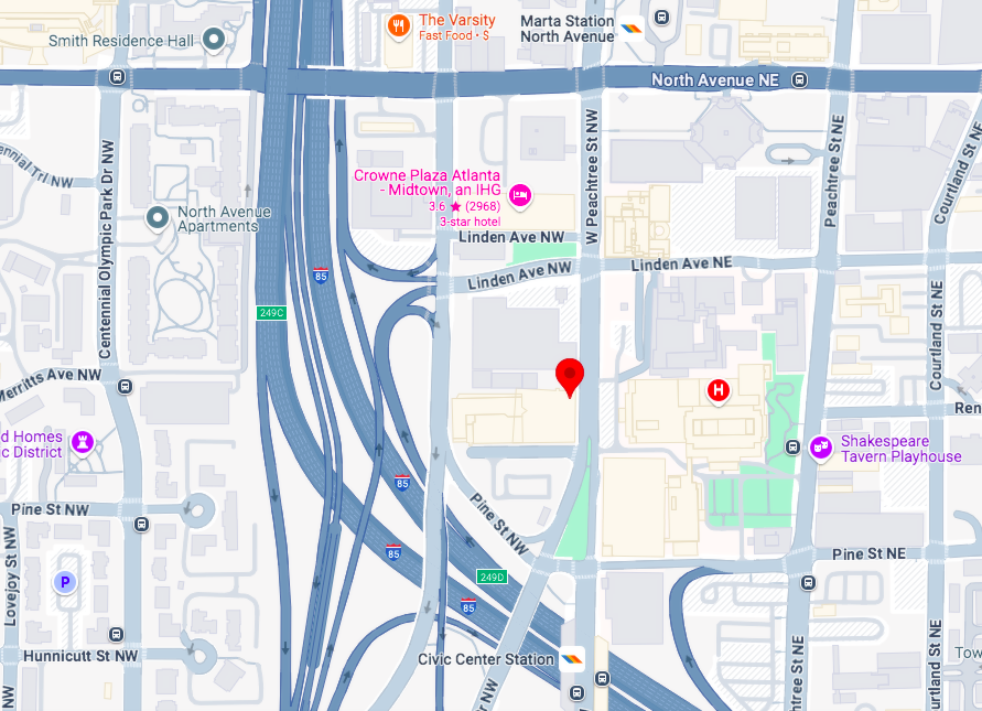
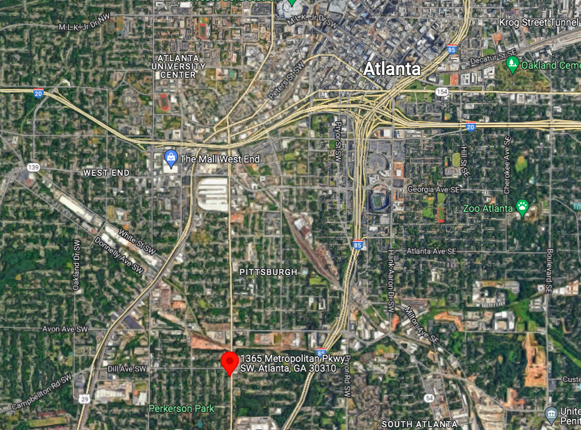
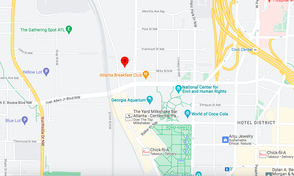 The 400 Luckie Street location just north of Centennial Olympic Park. Google Maps
...
Follow us on social media:
Twitter / Facebook/and now: Instagram
• Downtown news, discussion (Urbanize Atlanta)
Tags
400 Luckie Street NW Salvation Army Center for Hope Salvation Army Westside Tax Allocation District Atlanta Development Downtown Development Luckie Street Georgia Aquarium Atlanta Homeless California Homeless Housing Needs Assessment Homelessness Centennial Olympic Park Red Shield Services Dudley Ventures Salvation Army of Metro Atlanta Atlanta Emerging Markets Truist Community Development Enterprises downtown construction Center of Hope Salvation Army Center of Hope
Images
Construction progress on the Salvation Army expansion at the corner of Marietta and Mills streets, as seen Saturday. Josh Green/Urbanize Atlanta
The 400 Luckie Street location just north of Centennial Olympic Park. Google Maps
The Salvation Army's facility at the corner of Luckie and Mills streets today. Google Maps
Six-story facade plans where Marietta Street meets Mills Street downtown. Salvation Army/HOPE with Dignity; via Invest Atlanta
Subtitle Salvation Army project to provide more beds, workforce development center, other support features
Neighborhood Downtown
Background Image
Image
Associated Project
Before/After Images
Sponsored Post Off