Atlanta Botanical Garden expansion progresses, eyes groundbreaking Josh Green Tue, 10/15/2024 - 12:22 Two years after plans initially came to light for Atlanta Botanical Garden’s first-ever expansion, the landmark Midtown attraction is completing a fundraising campaign while finalizing designs and zoning approvals with an eye on breaking ground next year. Maybe.
The Atlanta Beltline Design Review Committee is scheduled to hear zoning variance requests for the Garden expansion project at its monthly meeting Wednesday.
Those include a request to reduce the width of Piedmont Avenue sidewalks next to the planned expansion from 10 feet to six-feet wide.
According to project leaders, that’s an effort to protect healthy trees near the Piedmont Avenue bridge in the area. A wider sidewalk would require taller retaining walls with larger footings, killing the trees in question, according to a project summary on the Beltline DRC agenda.
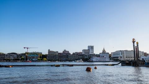
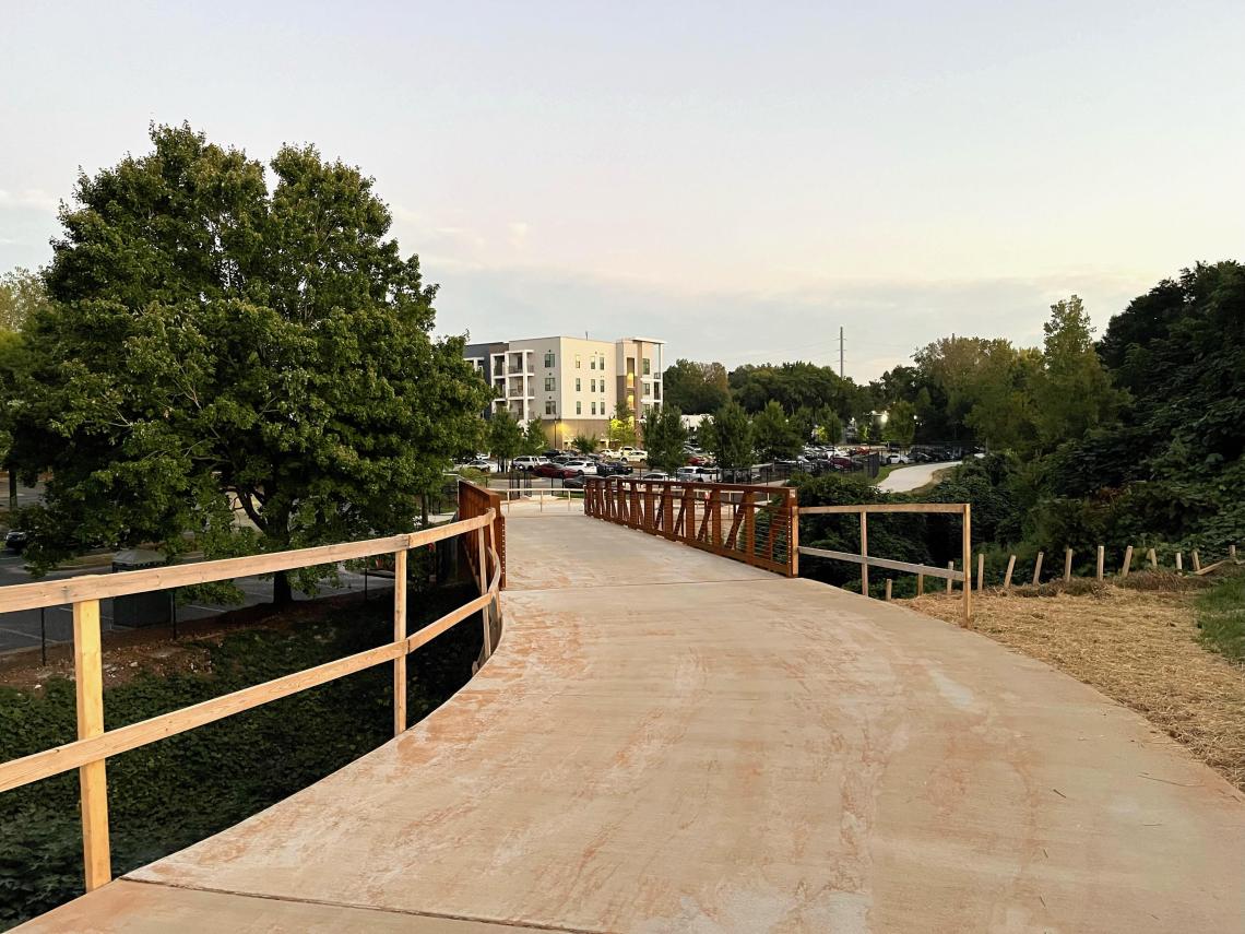
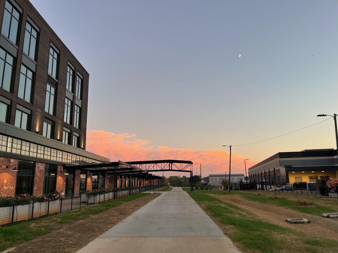
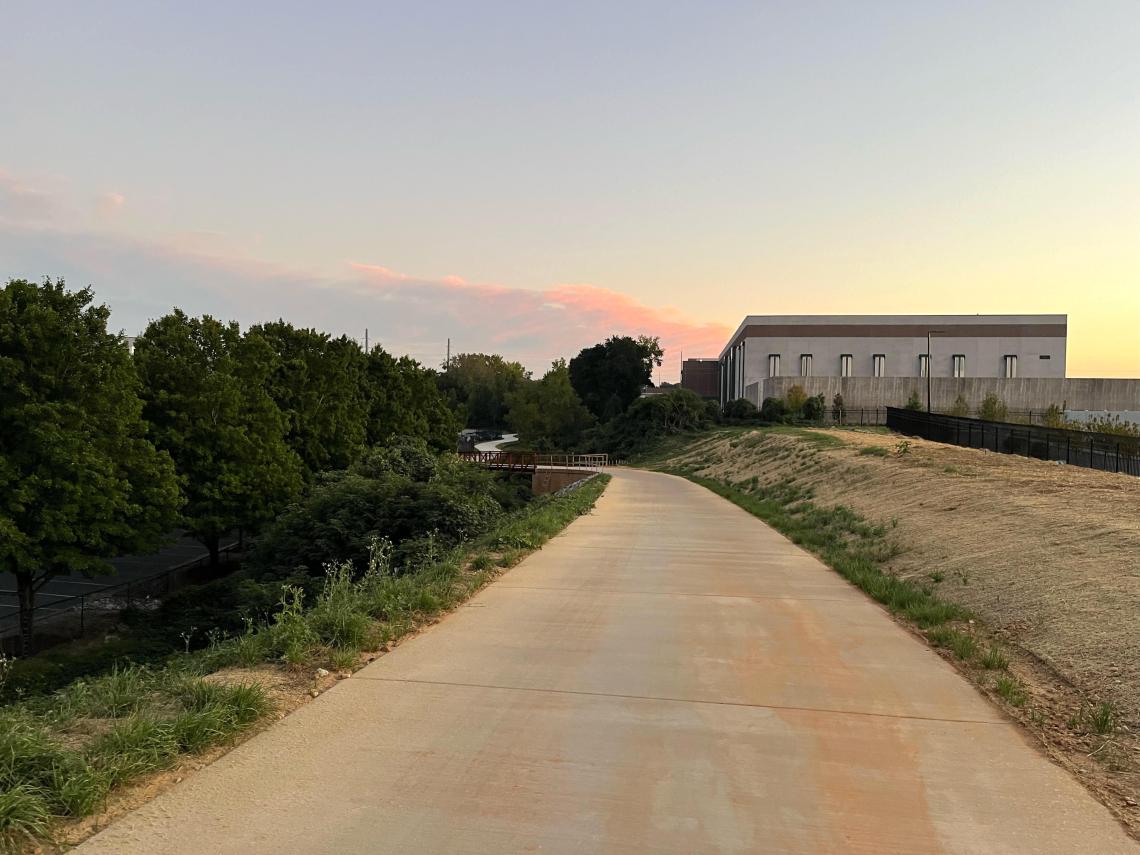
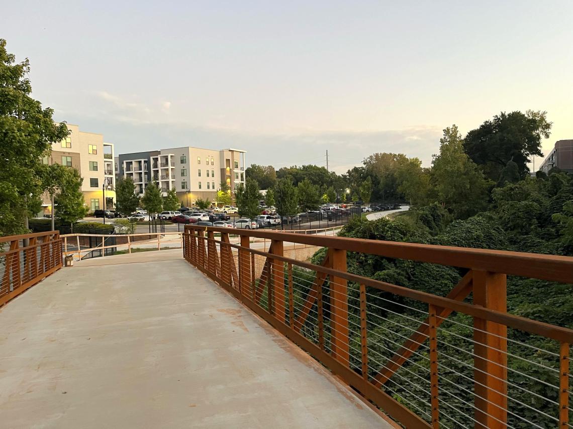
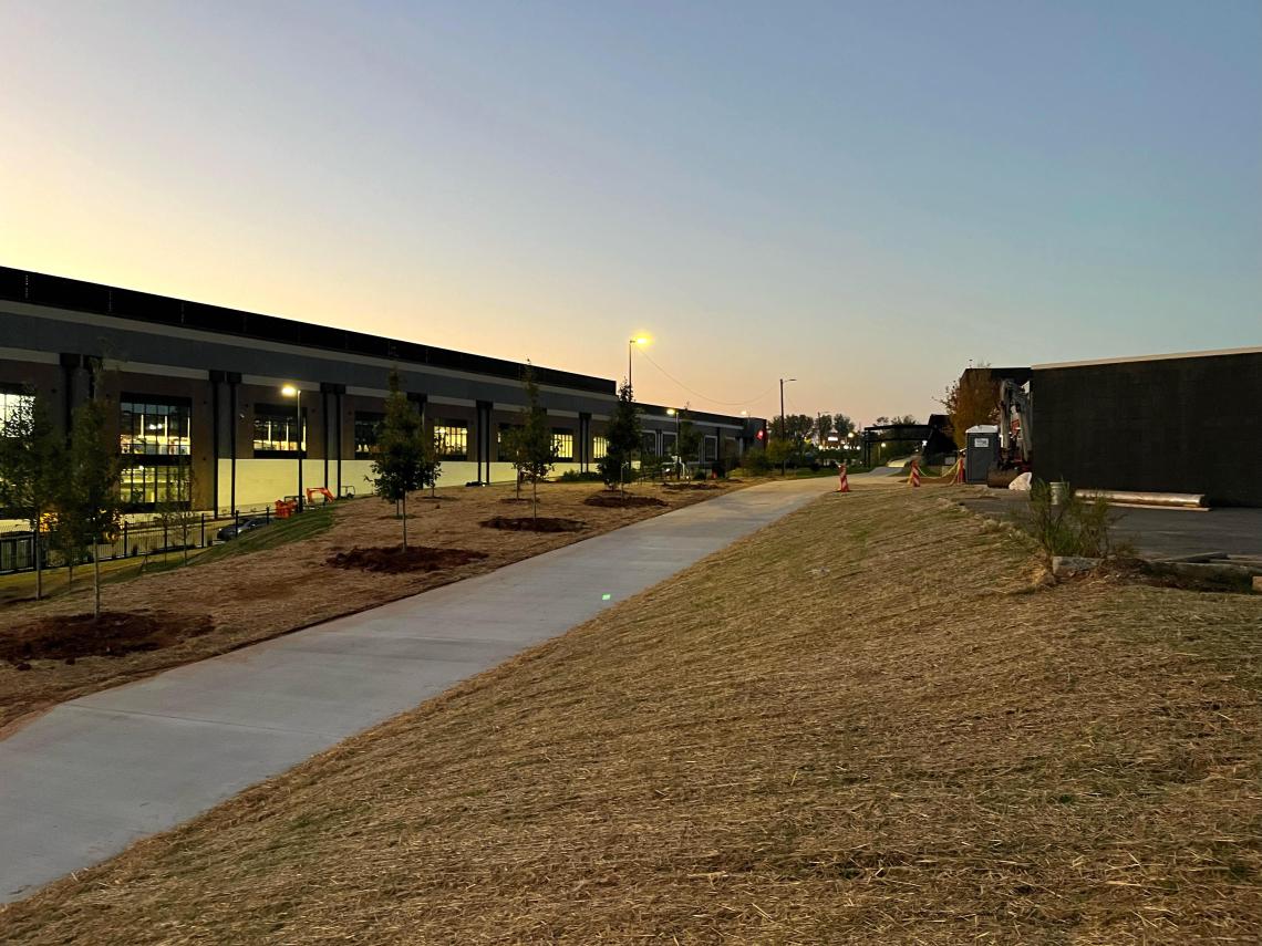
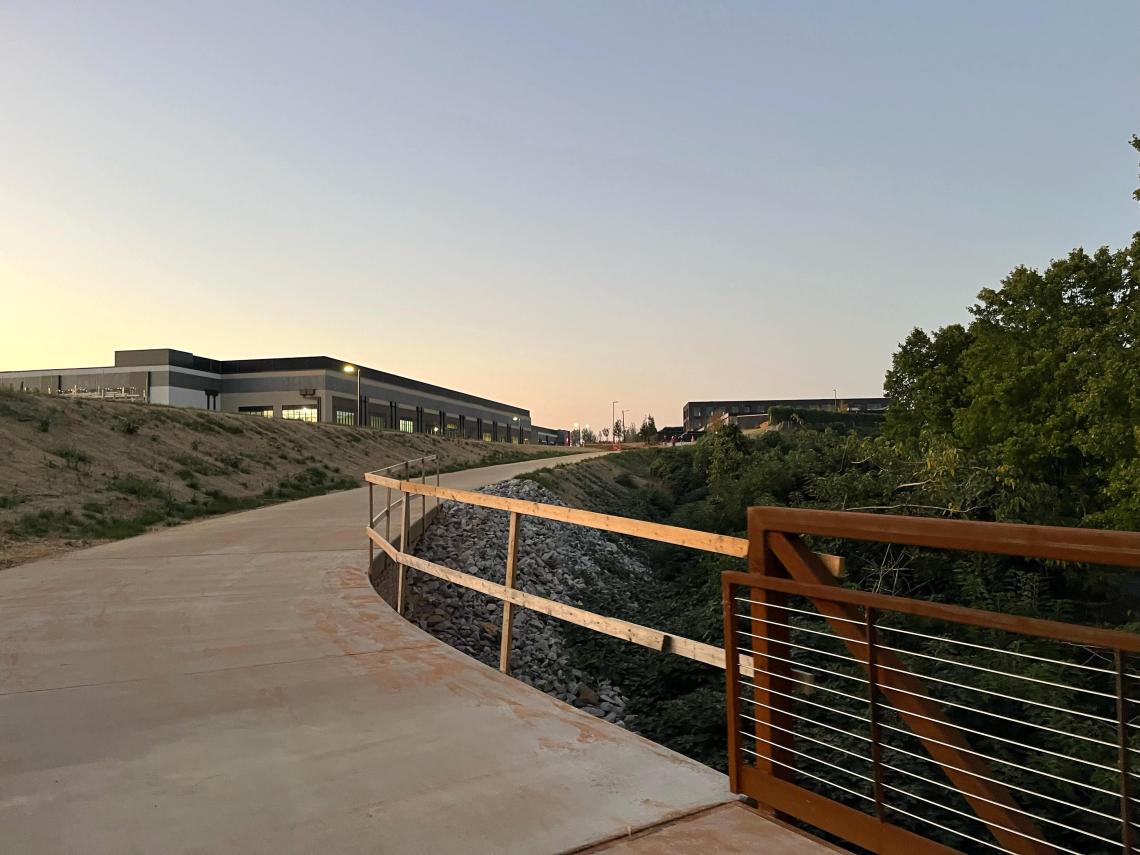
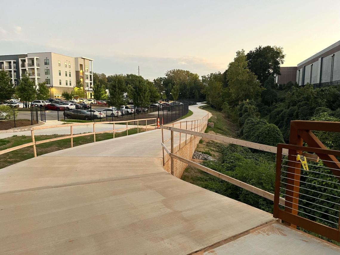
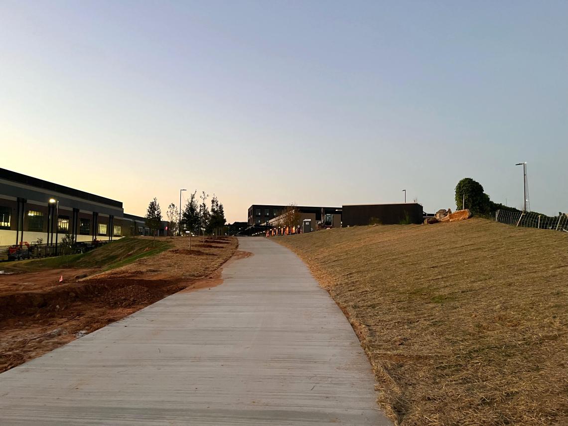
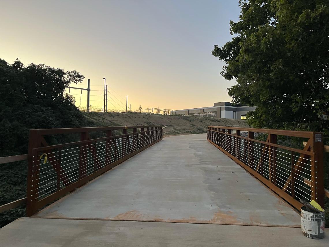
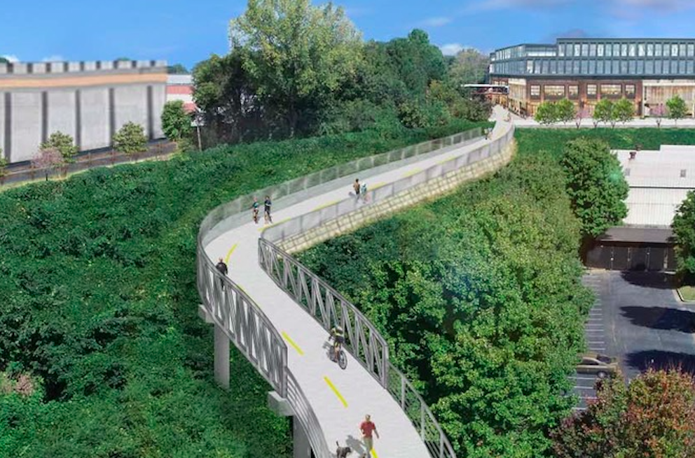
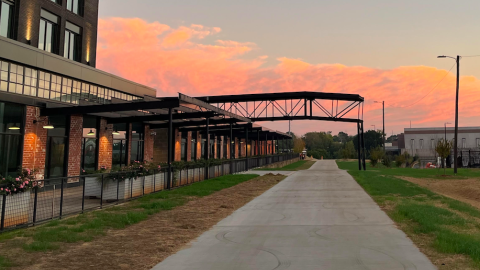
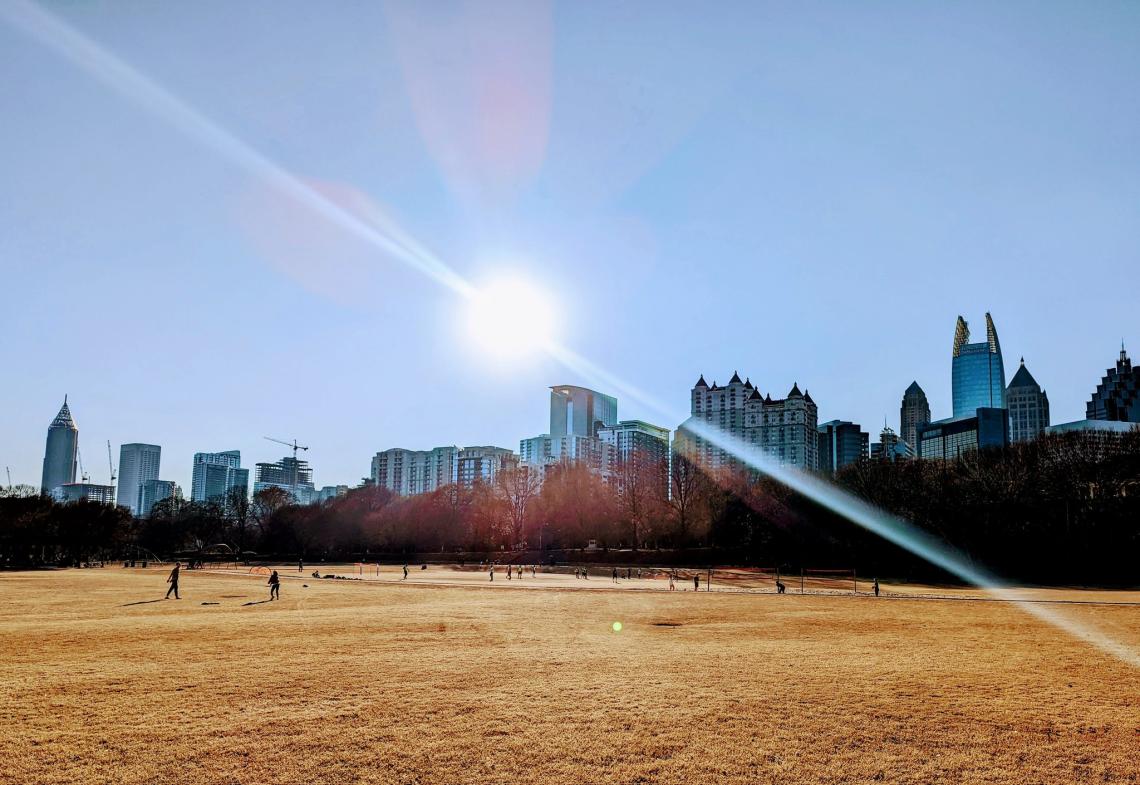
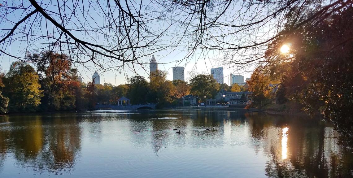
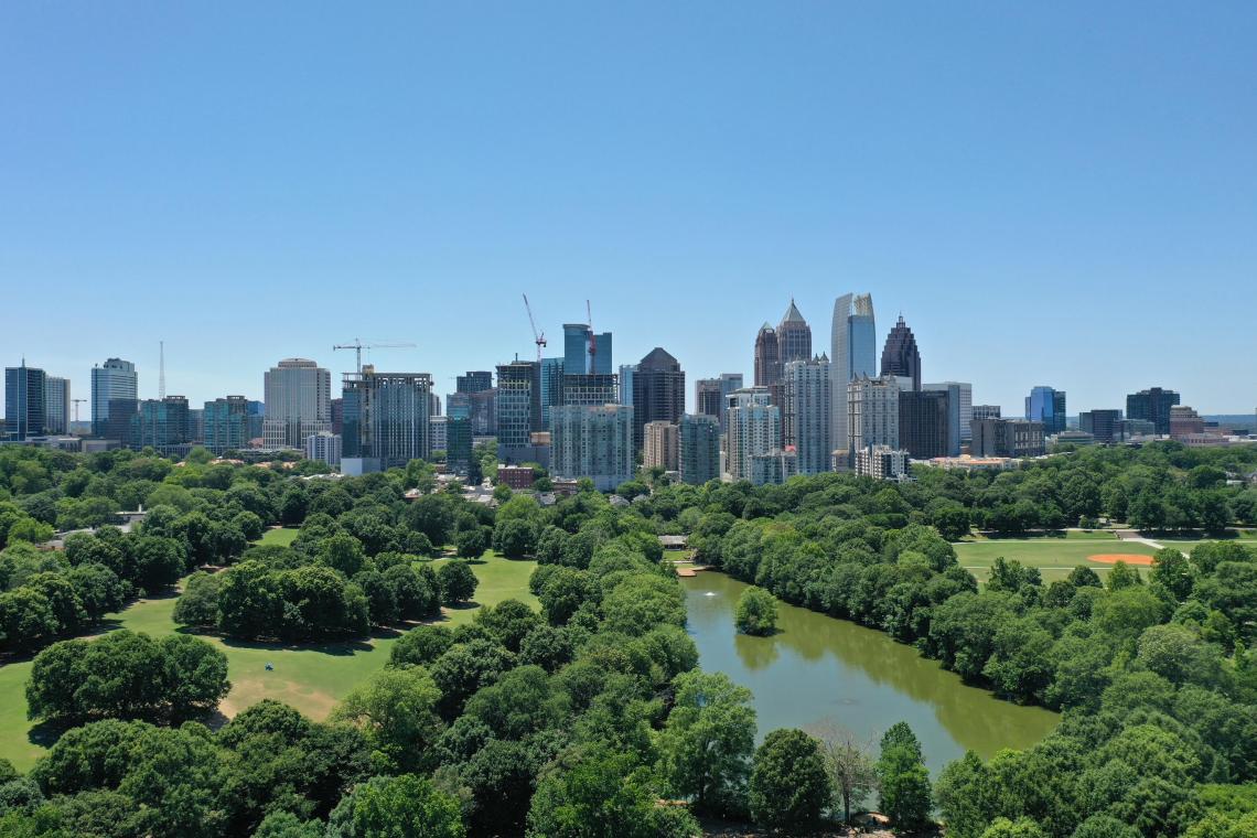
The Beltline’s new Northeast Trail will neighbor the planned 8-acre Garden expansion, making it the city’s first cultural institution with a direct Beltline connection.
The Beltline DRC meeting is considered part of the final stages of the rezoning process for the expansion project, according to Garden spokesperson Danny Flanders.
Flanders tells Urbanize Atlanta that Garden officials have nearly completed a $150-million capital campaign that will cover design and development costs and land acquisition for the new grounds.
Earlier timelines had called for the expanded gardens to be unveiled in time for Atlanta’s FIFA World Cup matches in the summer of 2026, but that won’t be possible now.
Current plans call for breaking ground in late 2025, with completion sometime in 2027. But that’s all contingent on storage facility company Public Storage vacating their current building on the expansion site—just north of today’s Garden—and relocating to a new facility on the flipside of Piedmont Park along Monroe Drive.
That’s key to a complex and controversial land swap between the Garden and Public Storage.
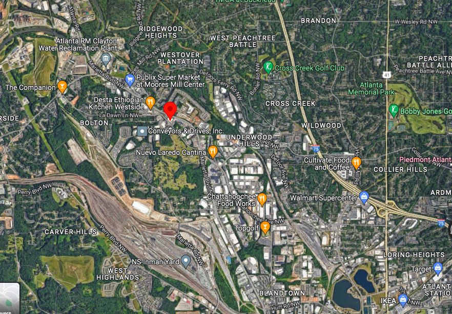
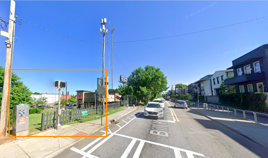
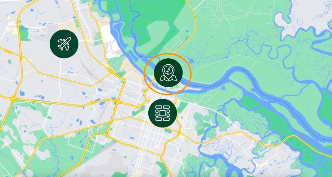
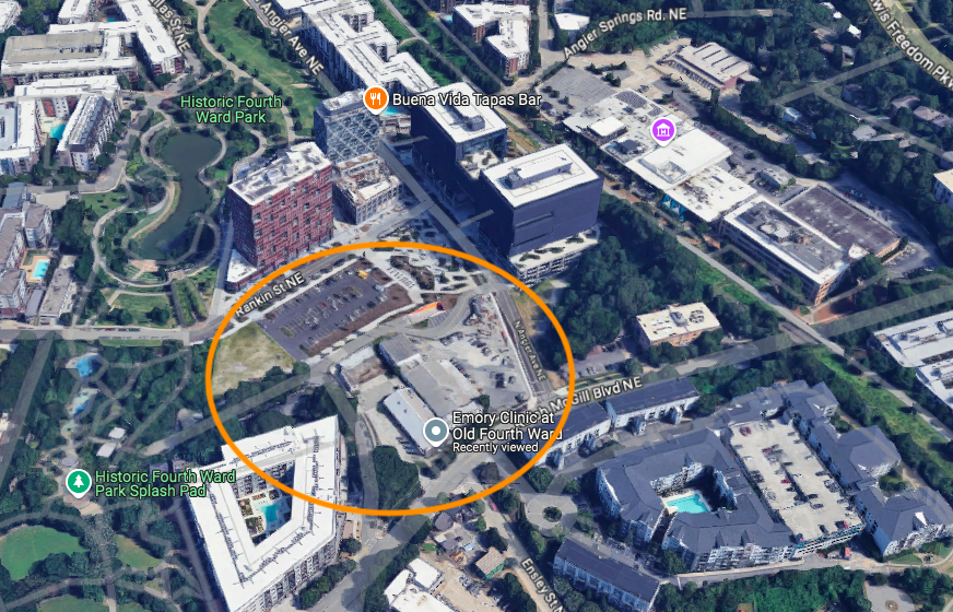
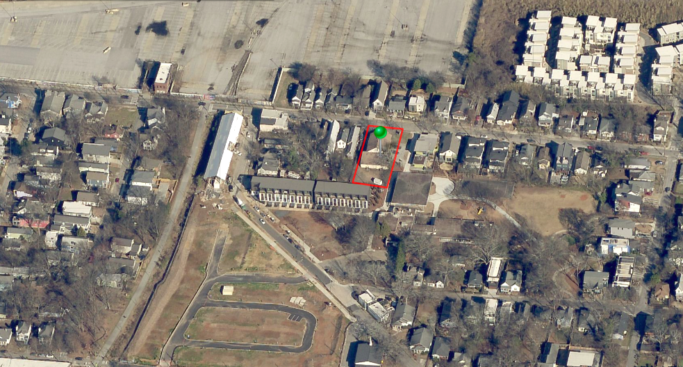
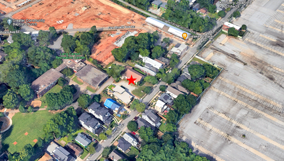
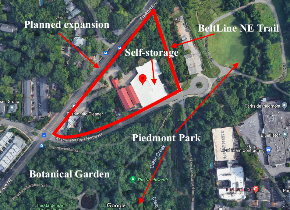 Breakdown of current uses where Garden officials envision a "botanical greenway" at the convergence of Piedmont Park, the Beltline, and the expanded Garden.Google Maps; Urbanize Atlanta
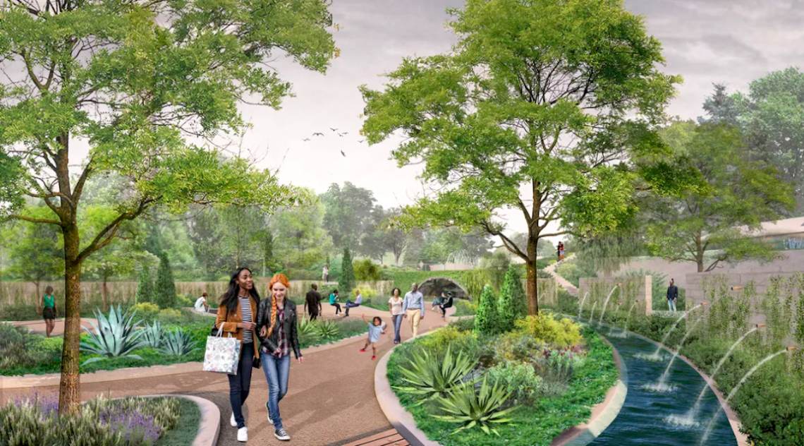
 Plans for a fountain garden near the orangerie, positioned away from the Beltline. Hoerr Schaudt landscape architects
Exactly where the Public Storage project on Monroe Drive stands isn’t clear.
Company officials have not responded to requests for a construction update, including one emailed Monday. Neighborhood leaders in Virginia-Highland have also said they’re in the dark as to what the project will entail. Building permit information indicates the self-storage facility will stand five stories
Beltline DRC members last year criticized the Public Storage project’s lack of retail space or residential uses such as townhomes as “a missed opportunity” and “a use that does not belong on the Beltline or anywhere near it.”
Whenever it’s able to proceed, the Garden’s expansion will mark the first since its founding in 1976.
Hoerr Schaudt, a Chicago-based landscape architecture firm, was hired by the Garden in 2022 to lead designs of the expansion, alongside other firms that include Atlanta-based Smith Dalia Architects.
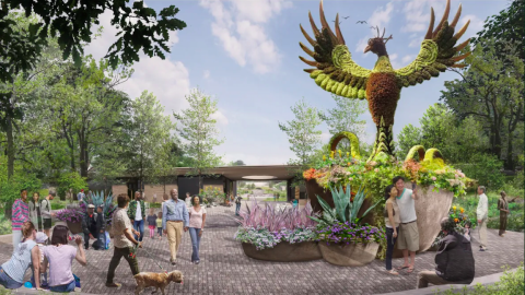
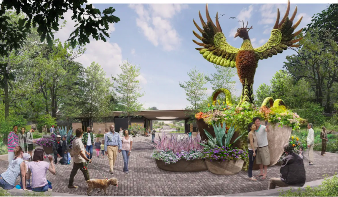 Plans call for some of the Garden’s famed mosaiculture sculptures being visible to Beltline passersby. One such sculpture would be a 20-foot-tall phoenix, symbolizing the city’s endurance, officials have said.Hoerr Schaudt landscape architects
 Hoerr Schaudt landscape architects
Hoerr Schaudt officials have said “iconic experiences” in the Garden expansion will include a series of terraced waterfalls, a cavern space, a 14-foot ring waterfall, an amphitheater embedded in a sunken garden, and a large lower garden area with integrated bridges, planted islands, and other features.
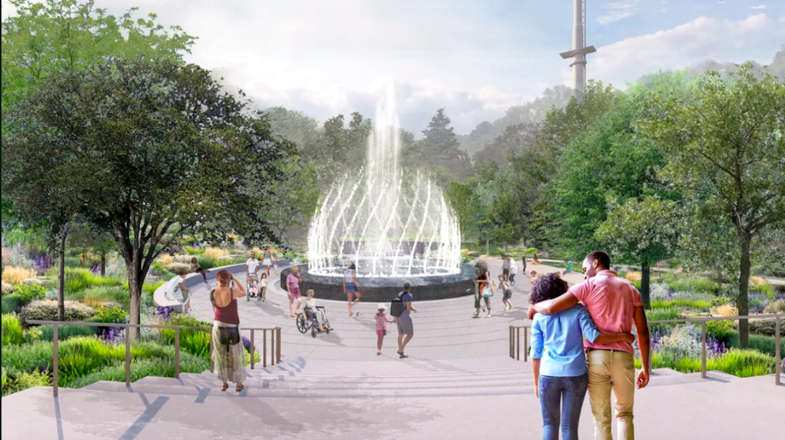
Along the Beltline edge, expect a beer garden and restaurant, entry plaza for events and programming, a hub for bikes and pedestrians, display gardens, and a visitors center. On the opposite side, positioned up a hill, would be a statement fountain and jewel-box orangerie, or a greenhouse for growing oranges.
The new section would grow the Garden’s current 30-acre footprint toward the north, lending it what’s essentially a second front door on the Northeast Trail.
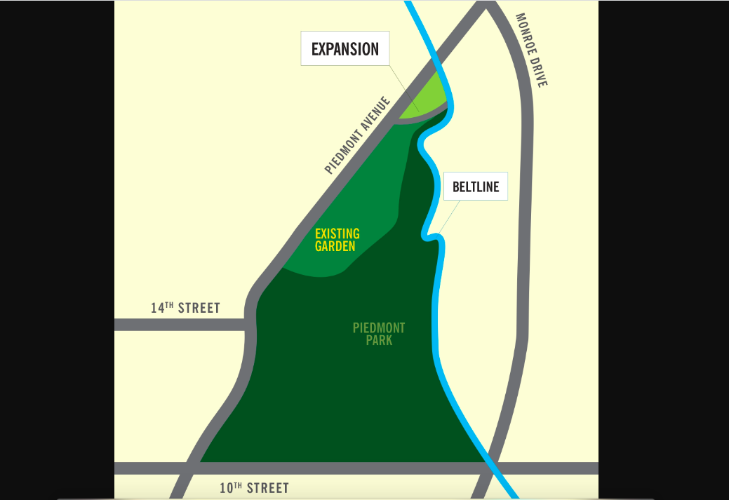 Diagram of how the Garden expansion would be wedged between Piedmont Avenue and the Beltline. Atlanta Botanical Garden
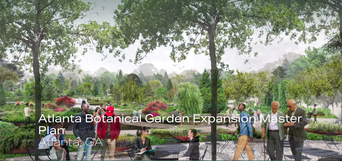
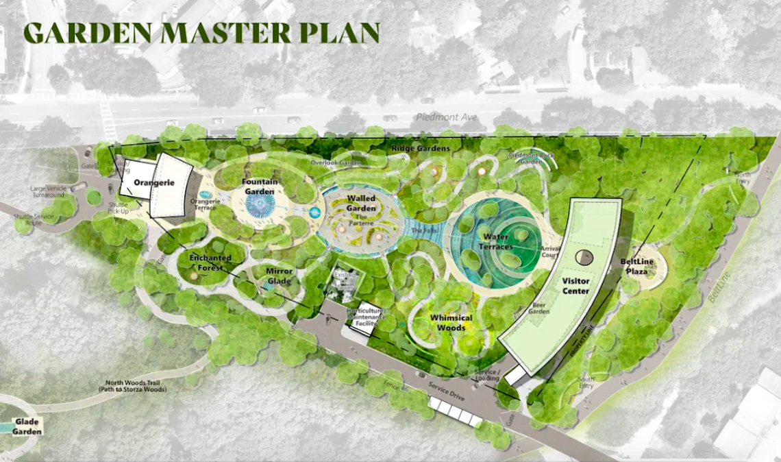 Overview of the planned Botanical Garden expansion, with the Beltline's new Northeast Trail segment depicted at right. Hoerr Schaudt landscape architects
...
Follow us on social media:
Twitter / Facebook/and now: Instagram
• Midtown news, discussion (Urbanize Atlanta)
Tags
1345 Piedmont Avenue Spurlock Landscape Architects Atlanta Botanical Garden Imlay Foundation John Imlay Bridge Dale Chihuly Atlanta attractions What to do in Atlanta Beltline Northeast Trail Atlanta BeltLine Parks and Recreation Cox Foundation Woodruff Foundation Public Storage Self-storage facilities L’Observatoire Smith Dalia Architects Fluidity Long Engineering Pine & Swallow Hoerr Schaudt Neelu
Images
Overview of the planned Botanical Garden expansion, with the Beltline's new Northeast Trail segment depicted at right. Hoerr Schaudt landscape architects
Breakdown of current uses where Garden officials envision a "botanical greenway" at the convergence of Piedmont Park, the Beltline, and the expanded Garden.Google Maps; Urbanize Atlanta
Plans call for some of the Garden’s famed mosaiculture sculptures being visible to Beltline passersby. One such sculpture would be a 20-foot-tall phoenix, symbolizing the city’s endurance, officials have said.Hoerr Schaudt landscape architects
Plans for a fountain garden near the orangerie, positioned away from the Beltline. Hoerr Schaudt landscape architects
Hoerr Schaudt landscape architects
 Hoerr Schaudt landscape architects
Diagram of how the Garden expansion would be wedged between Piedmont Avenue and the Beltline. Atlanta Botanical Garden
Subtitle First Garden addition in nearly 50 years, however, hinges on storage facility's relocation
Neighborhood Midtown
Background Image
Image
Before/After Images
Sponsored Post Off