Come along for a photo tour of Atlanta BeltLine's new stretch Josh Green Mon, 11/06/2023 - 15:54 The BeltLine’s Northeast Trail corridor has been open in a rough, interim state for the better part of 13 years, but there’s nothing like fresh concrete to boost usability and make it officially real.
City officials and Atlanta BeltLine Inc. leaders gathered last week to mark the opening of the Northeast Trail’s Segment 2 and its required infrastructure, calling it a significant milestone in weaving the city back together by way of the 22-mile, multi-purpose loop.
It was the first and last ribbon-cutting for a new mainline BeltLine section this year. Naturally, this called for a full tour on two wheels ASAP.
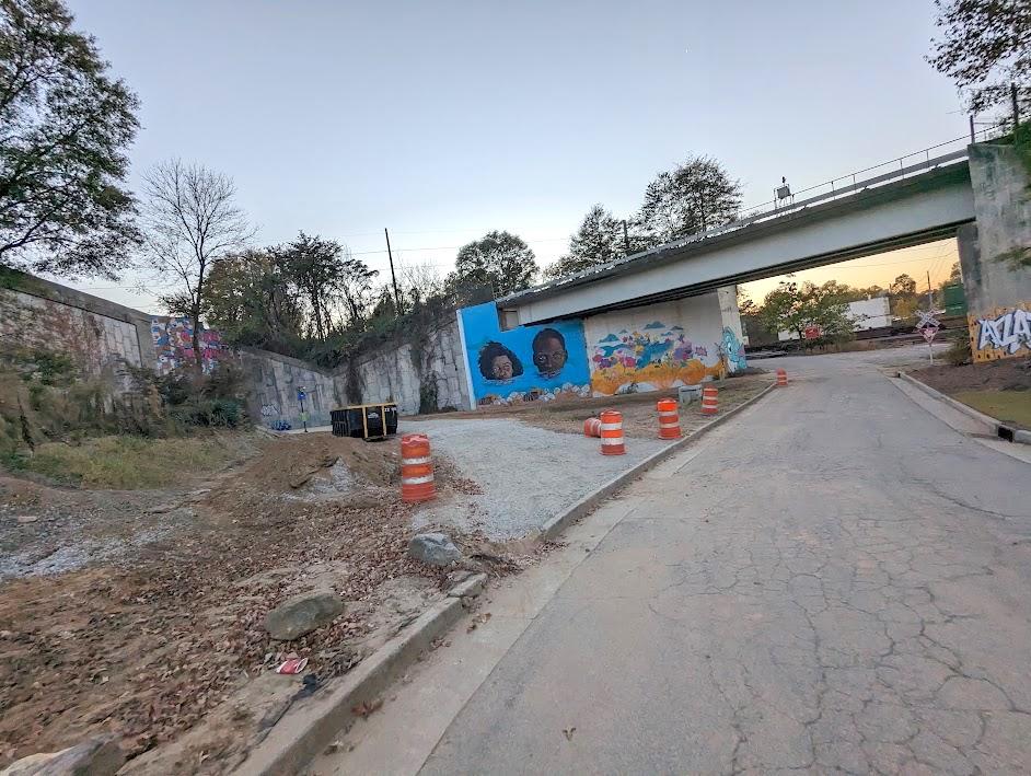
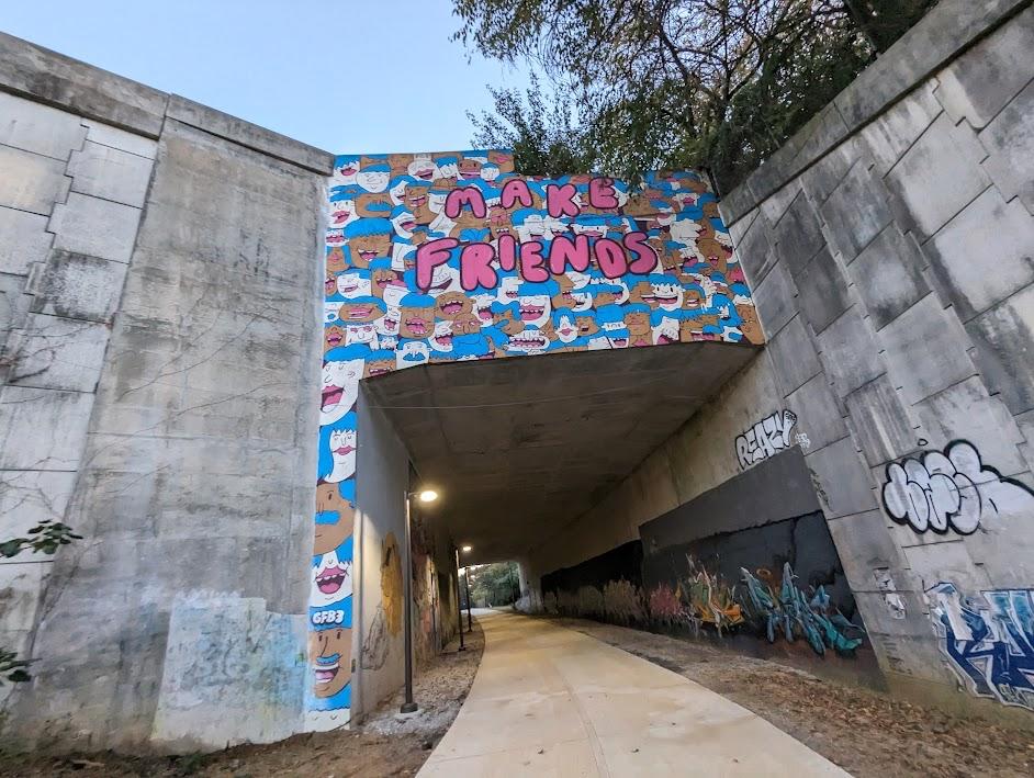
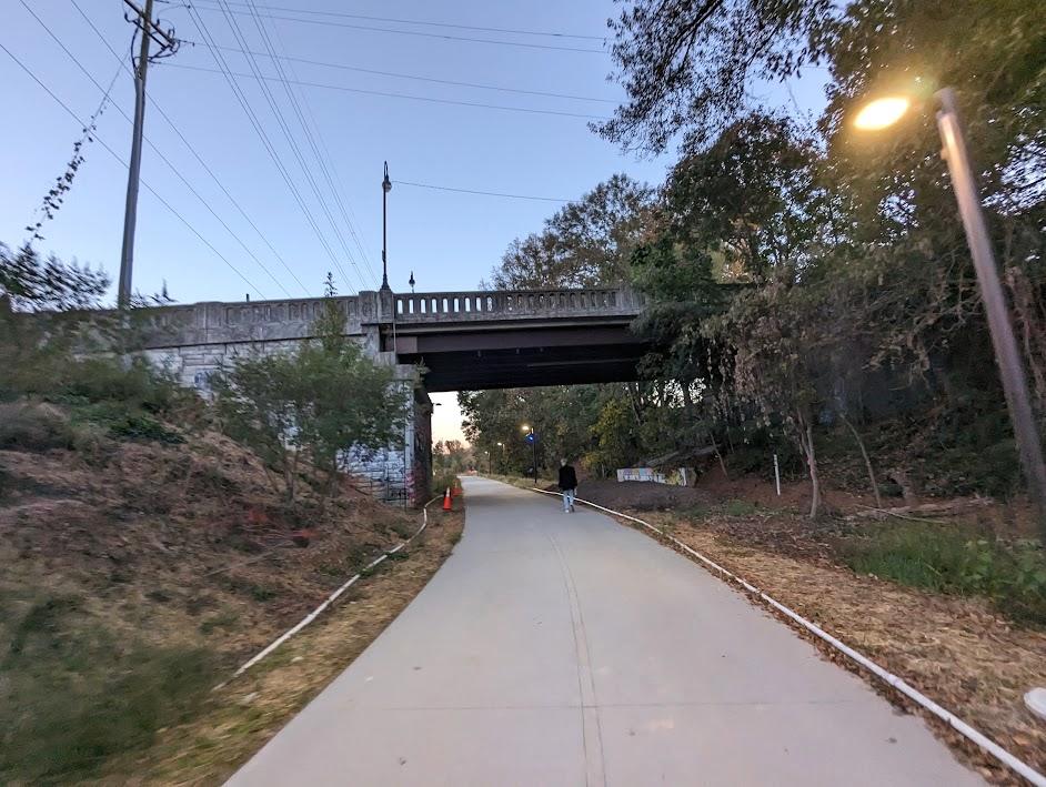
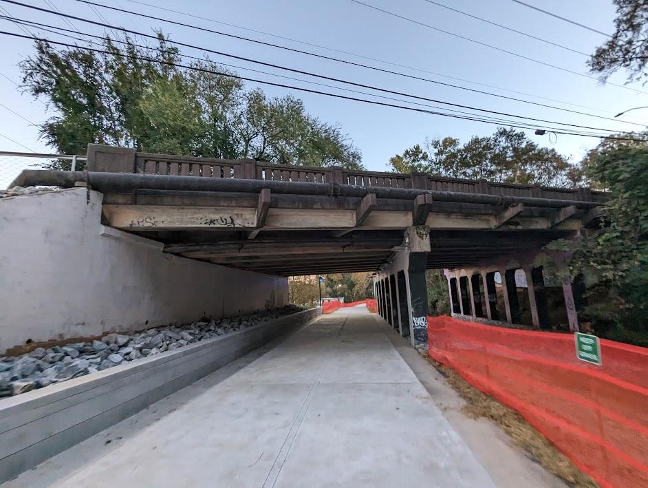
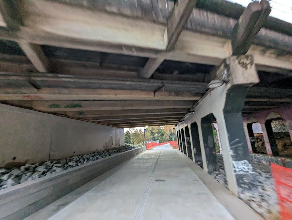
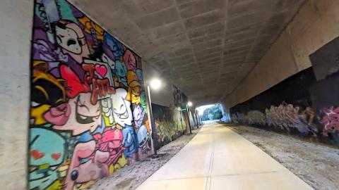
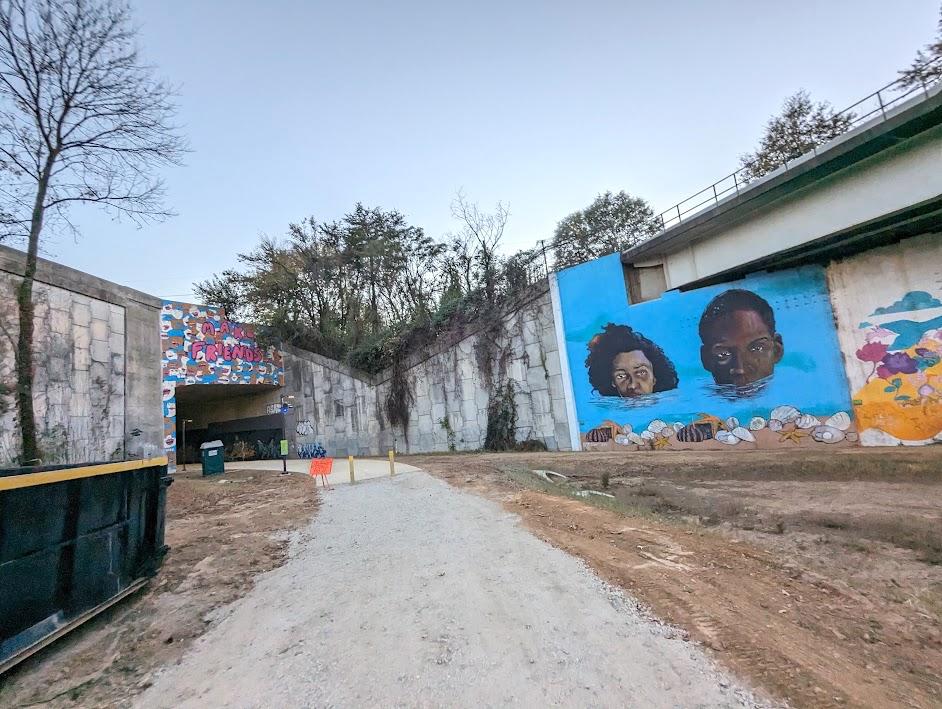 Nearing the long, mural-decorated tunnel under 10 lanes of Interstate 85.
Now stretching for 1.2 miles and bedecked in places with oversized murals, the Northeast Trail’s first two segments provide off-street mobility for several intown neighborhoods, linking the northern edge of Piedmont Park to the Armour district near SweetWater Brewing Company’s longtime home.
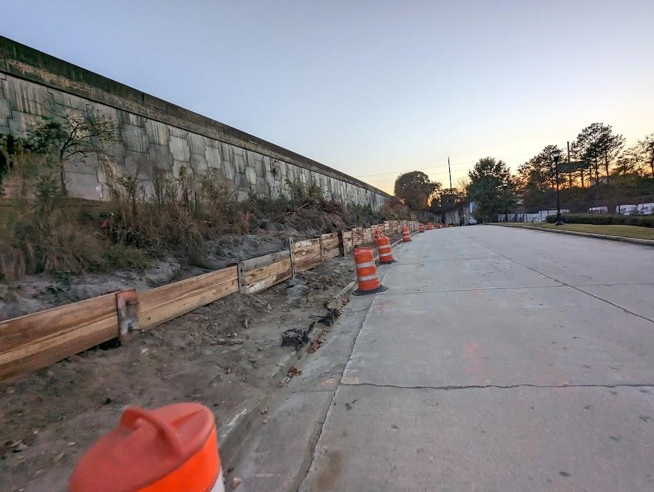
Along the way the trail passes Ansley Mall and Ansley Golf Course, bridges over the Buford-Spring Connector (with tall new protective fencing), and swoops under 10 lanes of Interstate 85 before ending, for now, at Mayson Street. Landscaping work is expected to continue throughout the winter.
Once finished, the full Northeast Trail promises to be a handy off-street link between Midtown and the Lindbergh (aka Uptown) area, in addition to places like the Cheshire Bridge Road corridor, stretching for more than two miles.
Another point of interest—a planned bridge project connecting the backside of Ansley Mall to the Northeast Trail—is now underway, as the gallery above shows. Have a look, starting from the northernmost point of the trail, no pedaling required.
...
Follow us on social media:
Twitter / Facebook/and now: Instagram
• ATL BeltLine news, discussion (Urbanize Atlanta)
Tags
Beltline Atlanta BeltLine Northeast Trail Ansley Golf Course Morningside Lenox Park Lindbergh Lindbergh MARTA Piedmont Road BeltLine Construction Georgia Power Armour Yards Trees Atlanta Atlanta Trees Plantings Ansley Mall
Images
 The tour begins on Mayson Street in the Armour district near SweetWater Brewing Company. A retaining wall for a sidewalk trail connection, at left, is expected to finish construction in January. Photos by Josh Green/Urbanize Atlanta
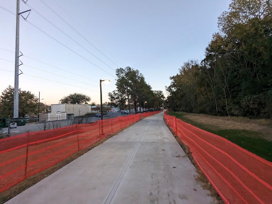
 Entering the mainline BeltLine corridor on Mayson Street.
Nearing the long, mural-decorated tunnel under 10 lanes of Interstate 85.
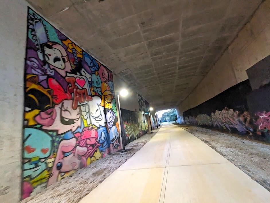 Mural work and lighting installed beneath I-85 beside the BeltLine.
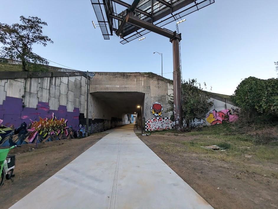 Looking back north toward Buckhead, through the I-85 underpass.
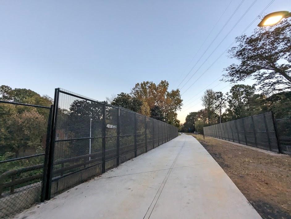 Protective fencing installed along the Northeast Trail over the Buford-Spring connector.
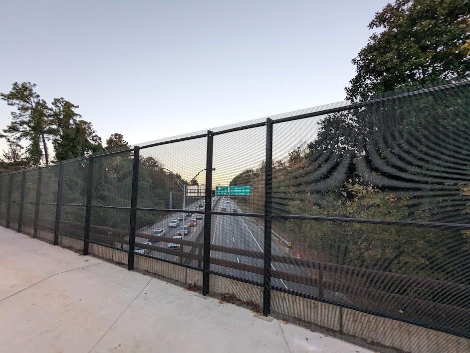 Midtown-bound traffic beneath the BeltLine on a Friday evening.
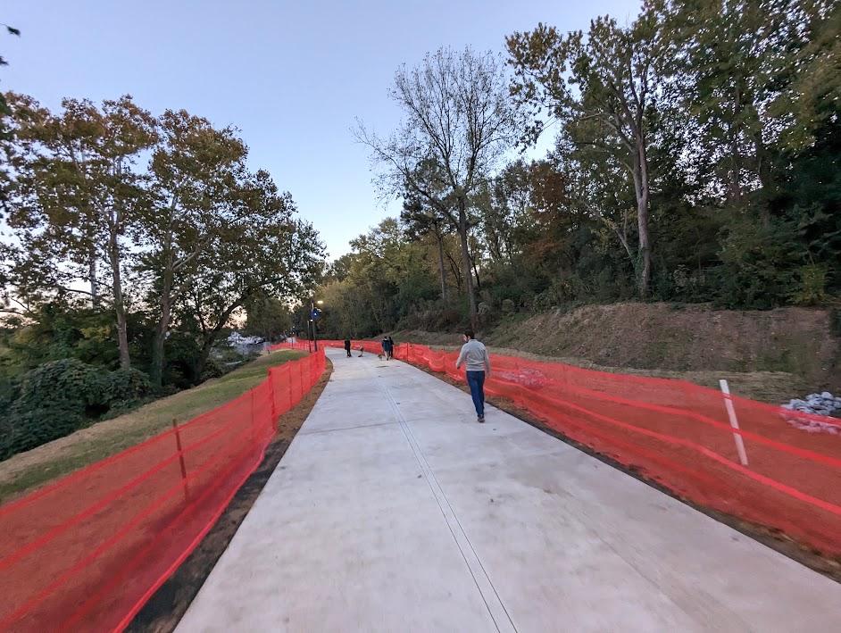
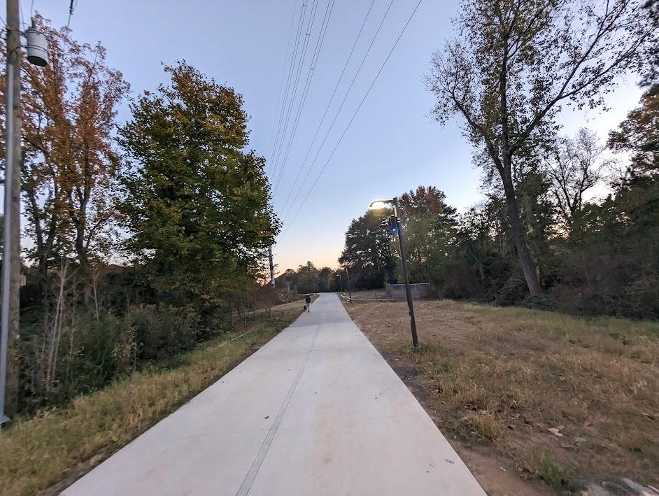 Approaching the trail's previously finished initial phase.
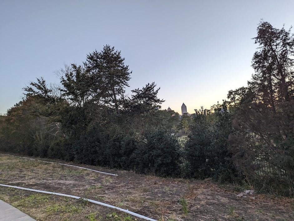 Midtown spires peeking over Ansley Golf Course at sunset.
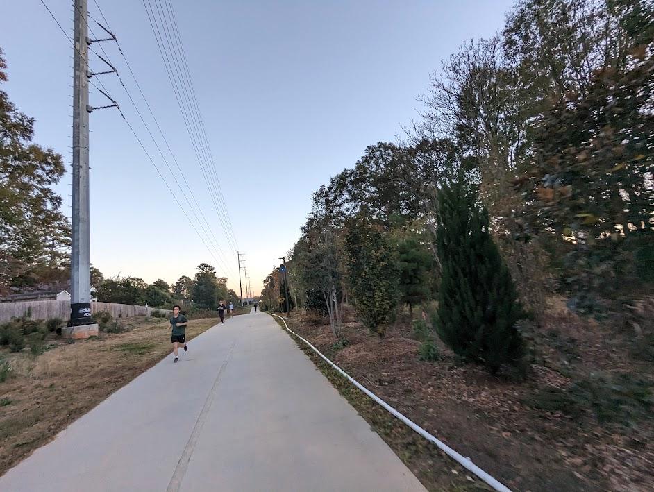
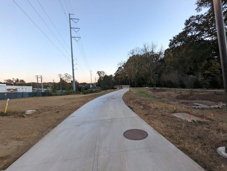
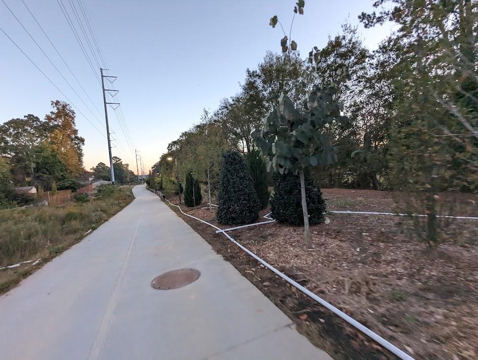 At right, the "instant forest" planted by Trees Atlanta earlier this year.
 With Segment 2 finished, the BeltLine reports that 9.4 miles of the planned loop are complete, joining 10.3 miles of connector trails around the city.
 Approaching the Montgomery Ferry Road bridge in Piedmont Heights.
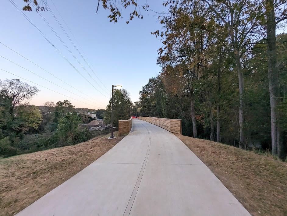 Approaching a new wood-sided bridge installed over Clear Creek.
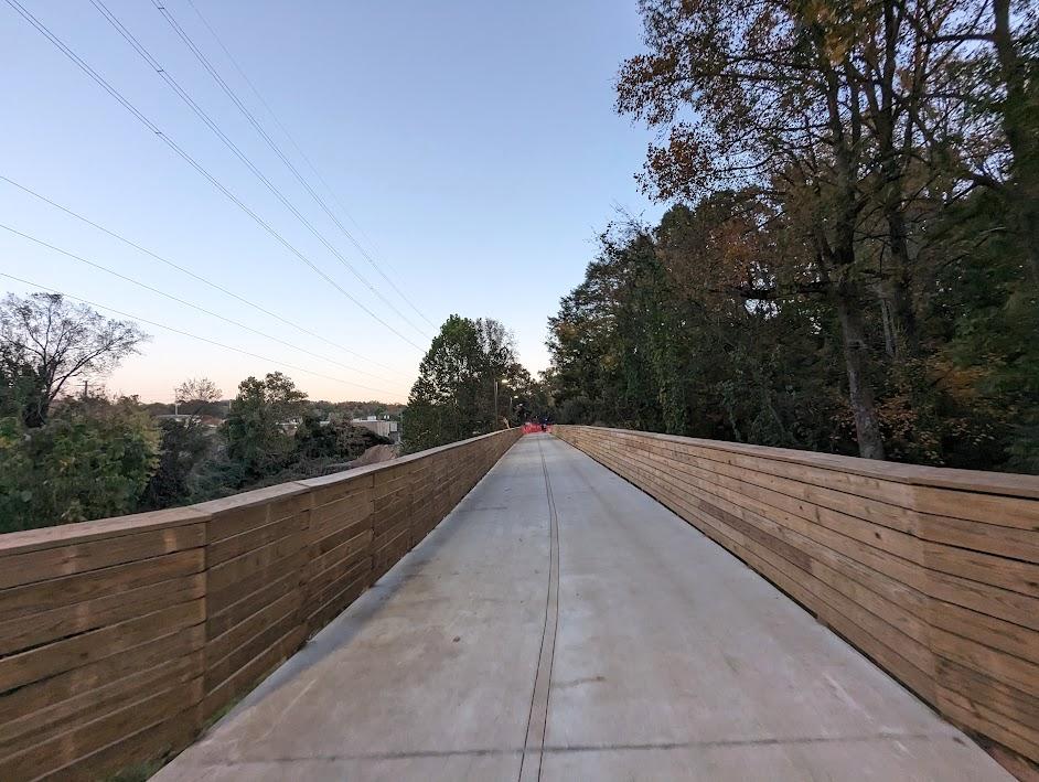
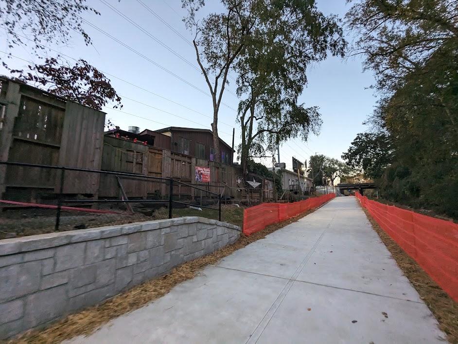
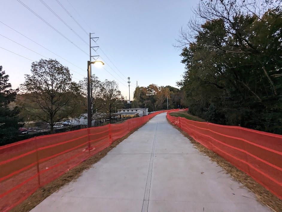
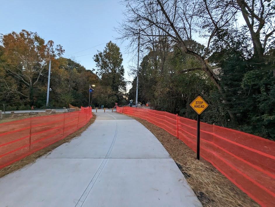
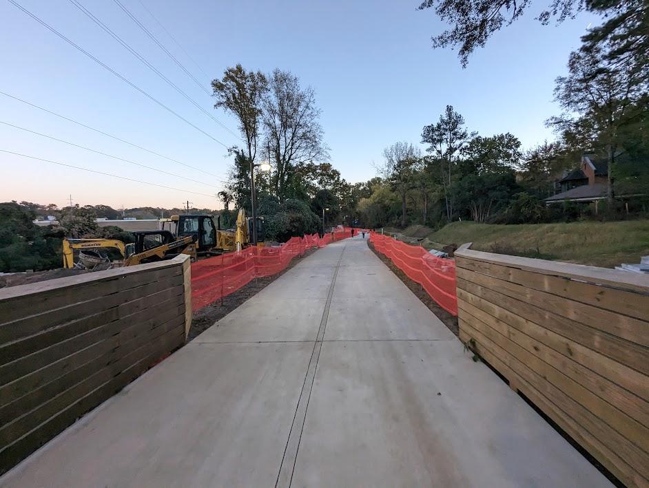 Across the bridge, orange construction fencing stands where landscaping and other work beside the path continues.
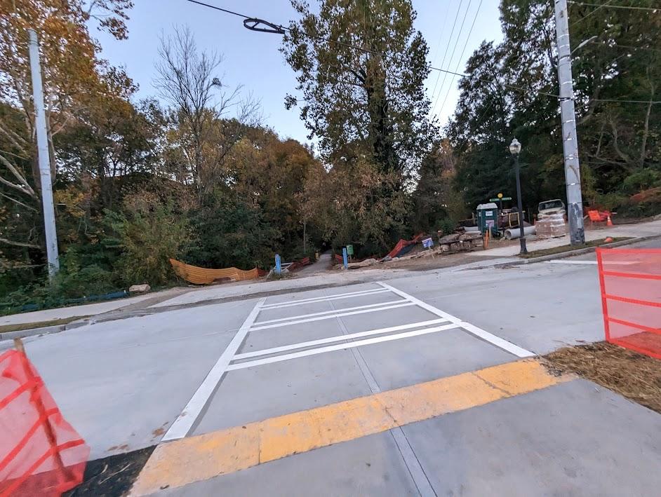
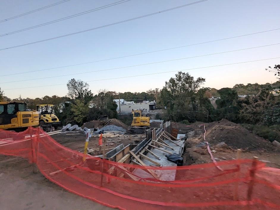 BeltLine spokesperson Jenny Odom confirms this activity is the beginning of Selig Enterprises' bridge to Ansley Mall, considered the largest trail “gateway” built by an adjacent property owner to date.
 Back parking lots near Ansley Mall appear at left.
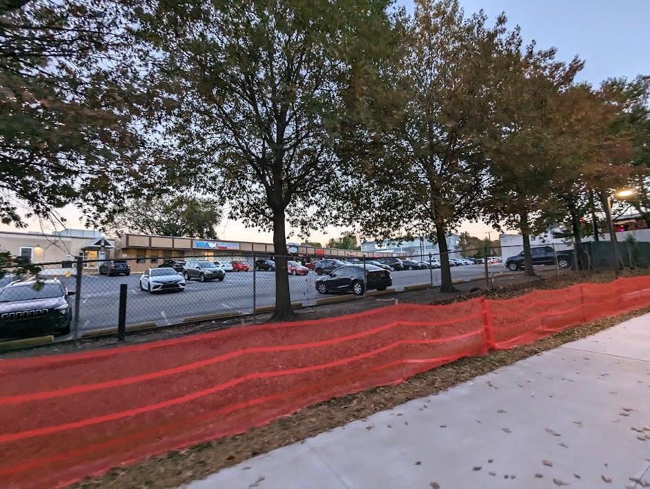
 A row of trail-side businesses at left include Atlanta Eagle and Bangkok Thai.
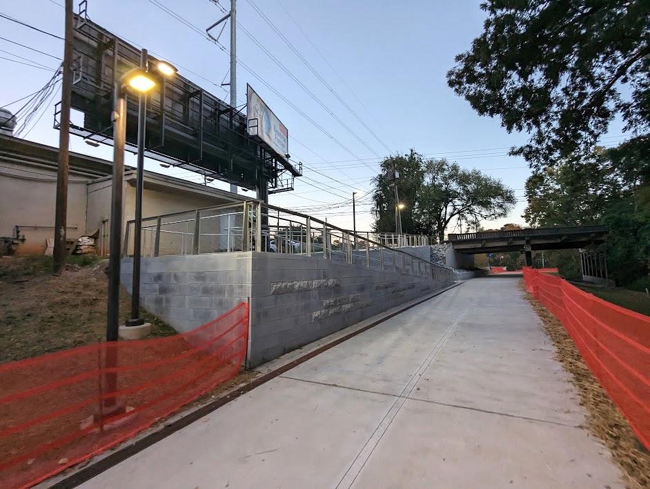 A new concrete ramp installed for accessibility up to Piedmont Avenue.
 The pathway, raised from its former elevation, as it passes beneath Piedmont Avenue.
 South of Piedmont Avenue, with Piedmont Park's northernmost meadow at left.
 Plans for Atlanta Botanical Garden's expansion call for claiming the property at right.
 Where the Northeast Trail concludes, for now, at Westminster Drive. Ahead, the trail's .9-mile Segment 1 is seen under construction in Piedmont Park, scheduled to open in fall 2024.
Subtitle How the Northeast Trail links southern Buckhead to Piedmont Park, in 28 photos
Neighborhood Piedmont Heights
Background Image
Image
Before/After Images
Sponsored Post Off
Photographer Josh Green/Urbanize Atlanta
Photographer Link