this post was submitted on 27 Oct 2024
50 points (98.1% liked)
Trains
840 readers
1 users here now
Everything about trains and railroads
founded 2 years ago
MODERATORS
you are viewing a single comment's thread
view the rest of the comments
view the rest of the comments

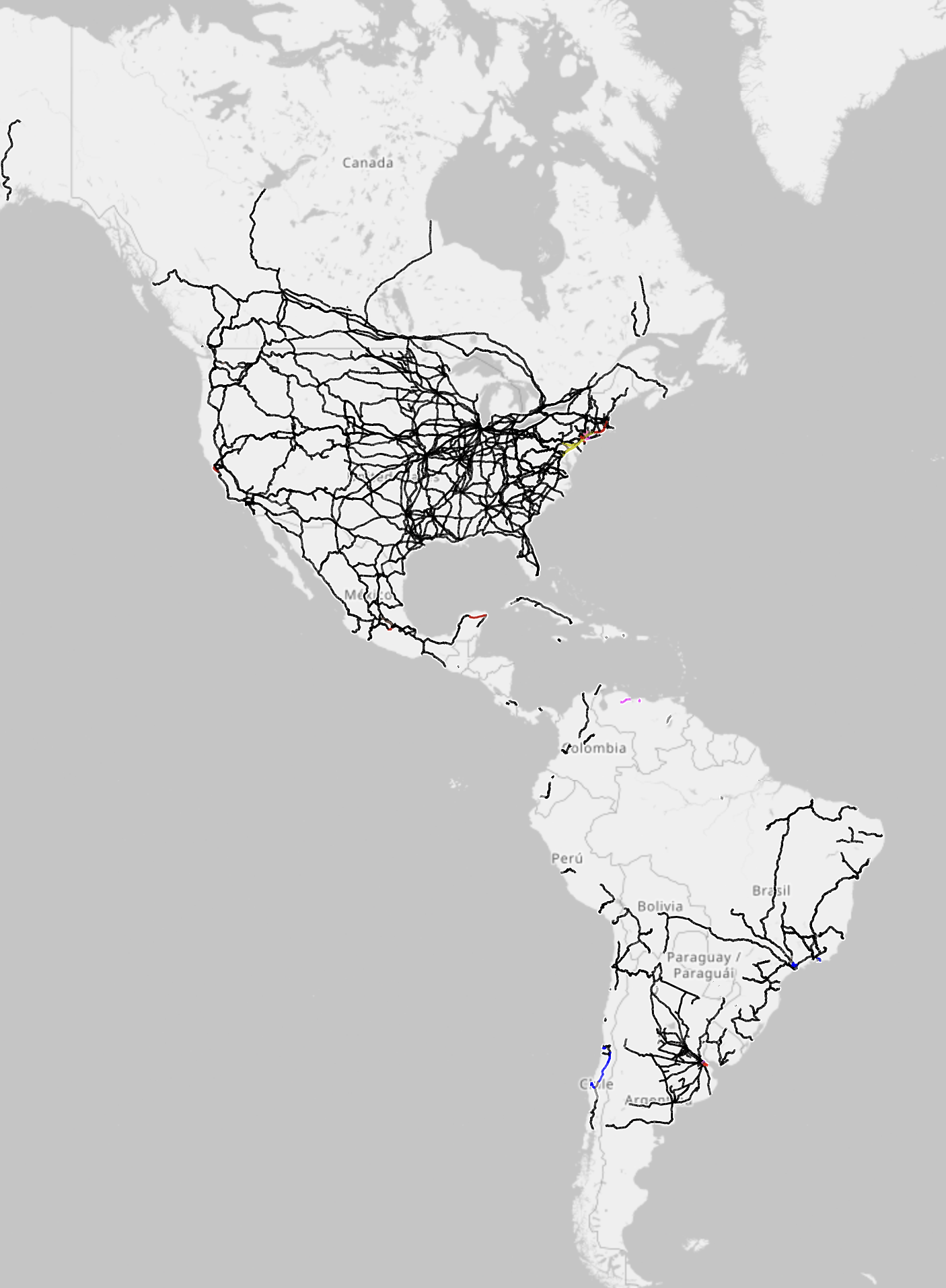
Because the vast majority of the rail lines in the Americas are fossil fuel powered.
I checked your provided link, practically all the lines in the USA were orange, not black.
That’s for existing rails you have to click the electrification option.
Then you should clarify that people should check the link if they want to see the colored map.
Lemmy preview doesn't care about that, you literally shared the grayscale version and called it colored.
Zoom in closer and you see the colour. Why are you so negative?
Not being negative, just telling you what I see. Also, you didn't provide a color code, nor did you suggest phone users to zoom in.
Yay, I get more criticisms.
That’s why I said colour in the title and phone users already know they must zoom in on map data.
Dont take that personal, I enjoyed your post and its really not your fault ppl cant even read map descriptions.
Thx for posting <3
You should declare that then, when practically the whole map is in grayscale. Some of us have piss poor vision, I'm at 20/500 vision myself, and my pupils are starting to solidify. Plus my glasses are tinted.
Also, why no actual color guide?
Thank you. However, I still cannot see the colored areas without at least a few hints on where to look.
That's because there aren't a lot of electrified lines and America is pretty big. So in order to get all of America in the picture I had to zoom out but by doing that little details obviously get lost. Here is the link. This one should already be set to show electrification. With this you can zoom and look wherever you want
Thank you very kindly 👍
Yes, I think that is rather the point.